| description (summary) |
2003-8-26 |
jl |
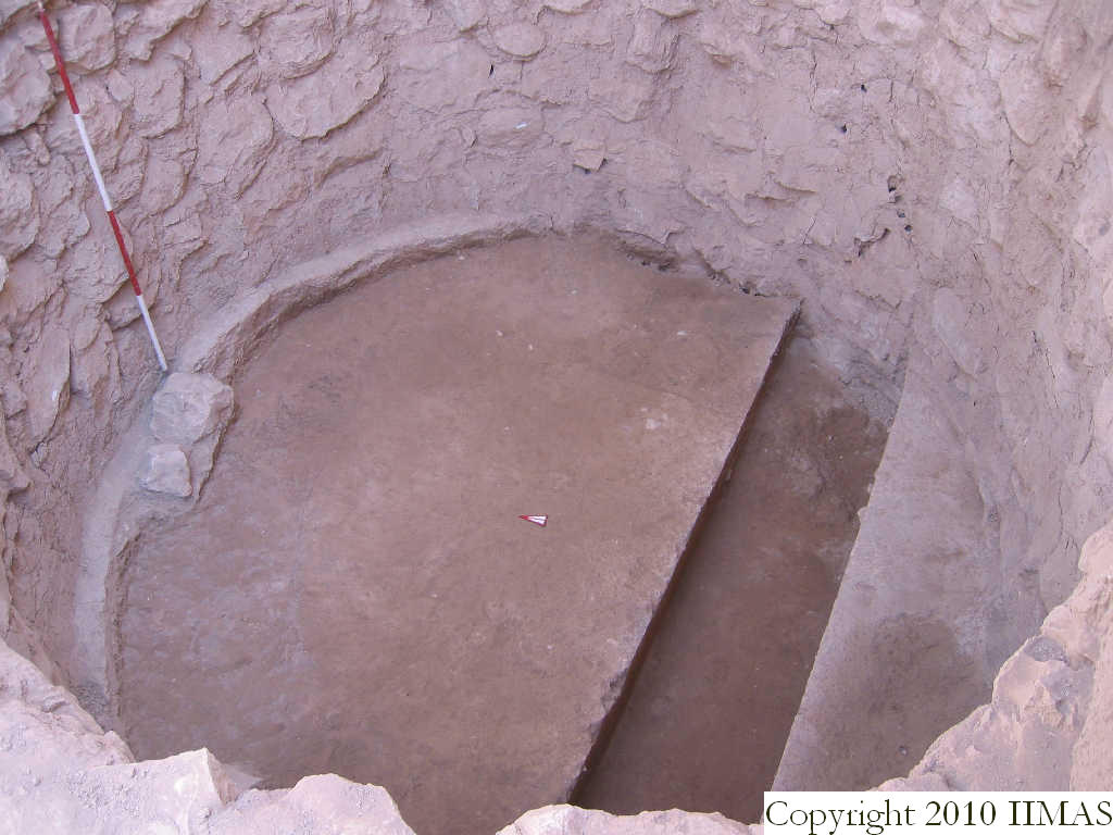
This view shows the locus after we finished excavating f439 and f430. Although we labelled all of k29 and k30 as f441 and f442, respectively, the black seed deposits are not located across that whole area, but are scattered around. However, it is near impossible to differentiate the two areas in this photograph, since the black seed layers are mostly not very strong, so I have taken the liberty of labelling the whole area as f442. When we excavated, we only excavated areas of black seeds; the rest of the area, along with the accumulation underneath the black seeds, became f443 and f444. |
[Input File: N826jl.j] |