
| photo of view (for views only) | 2008-7-28 | !!! | |
[Input File: A20VK9c.J] |
| photo web | 2008-7-28 | !!! | |
[Input File: A20VK9c.J] |
| 17-7-2020 | !!! | |
[Input File: A20_VWX.j] | |
| 17-7-2020 | !!! | |
[Input File: A20_VWX.j] |
| templates |
| |||||||
| photo of context (v view) |
| |||||||
| view/drawing orientation | 2008-7-28 | eE | looking south | [Input File: S802lC.j] | ||||
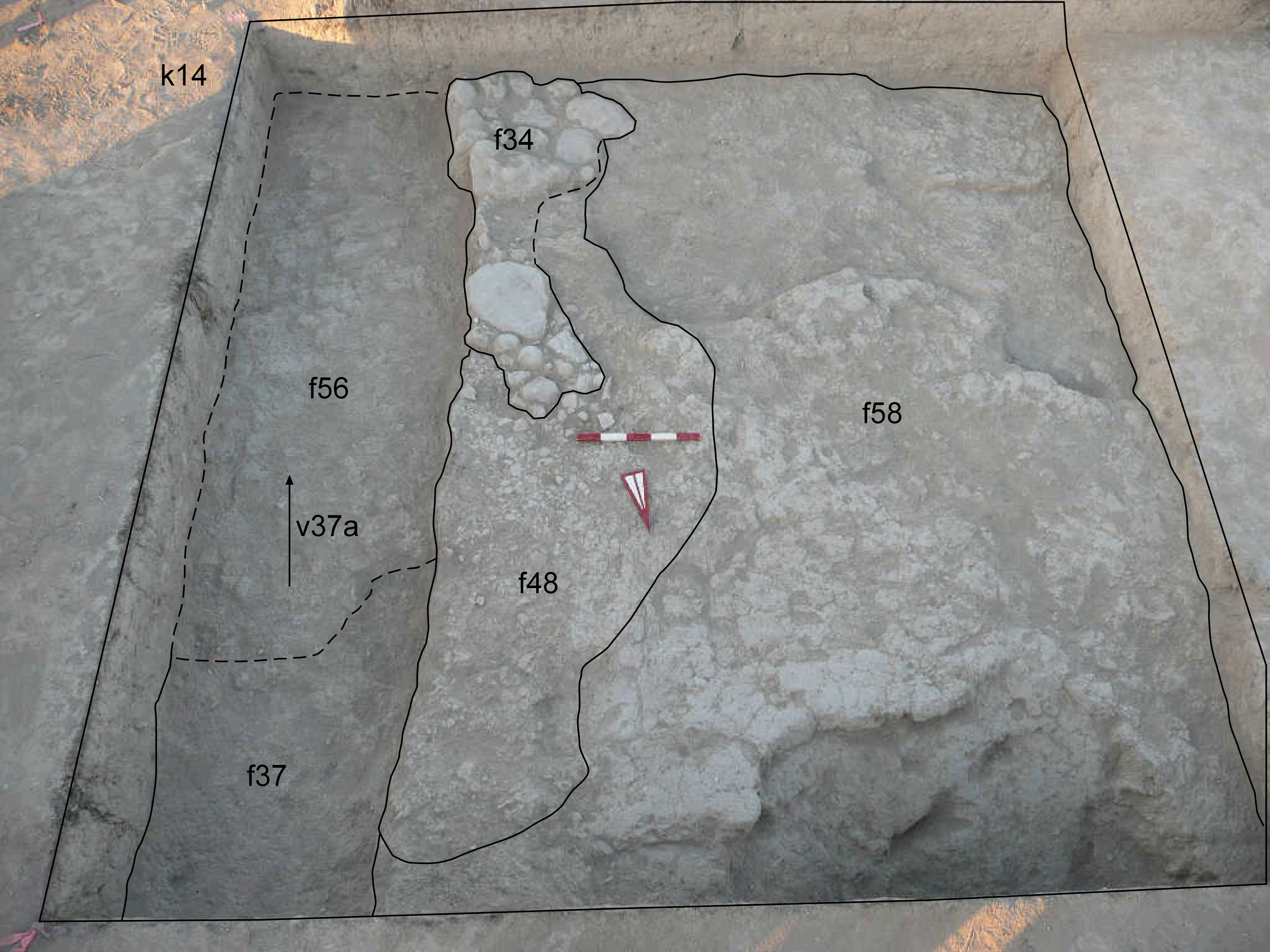
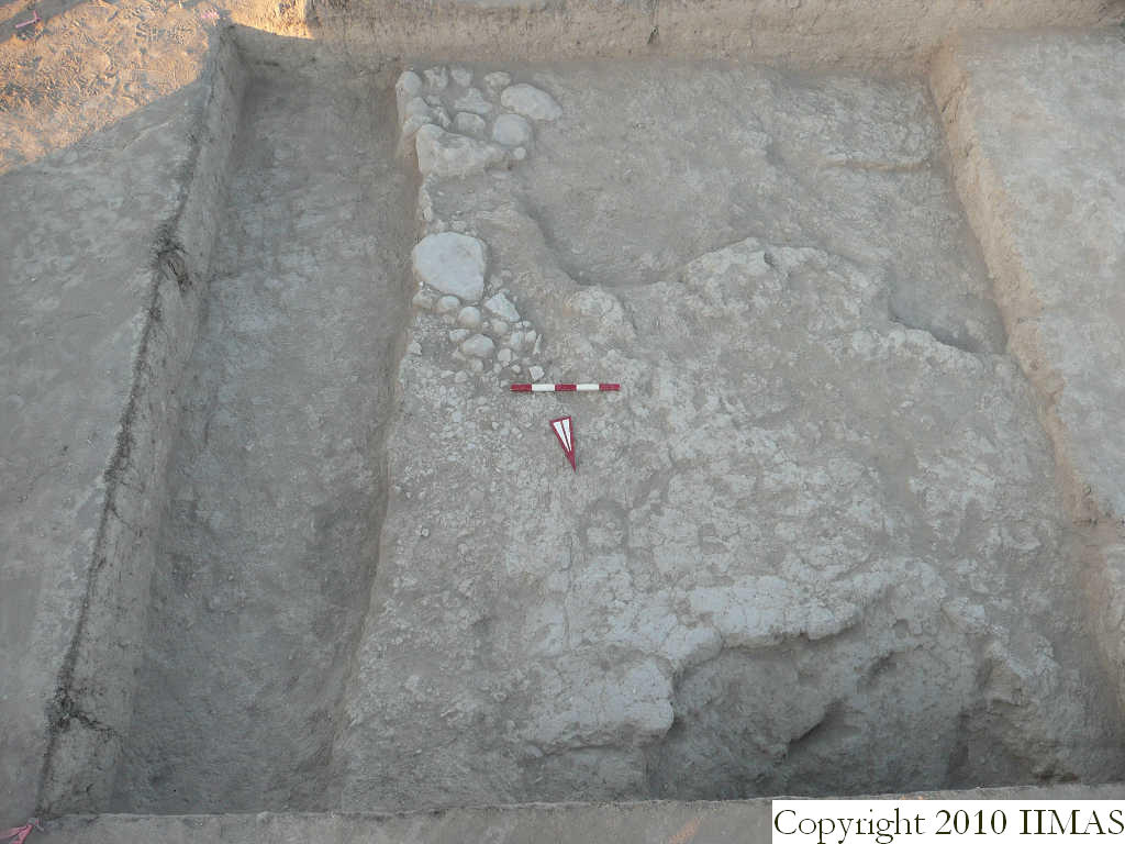
| text description of view | 2008-7-28 | eE | The view shows the stone installation f34 that overlays the pavement type c f48. The shot also shows the mud brick pile f56 in the south-eastern corner of the locus and the very compact layer f58 in the western half of the locus. | [Input File: S802lC.j] | ||||
| constituents within view/drawing | 2008-7-28 | eE | f34 f48 f56 f58 k14 | [Input File: S802lC.j] | ||||