

| photo of view (for views only) | 2008-8-02 | !!! | |
[Input File: A20VK9c.J] |
| photo web | 2008-8-02 | !!! | |
[Input File: A20VK9c.J] |
| 17-7-2020 | !!! | |
[Input File: A20_VWX.j] | |
| 17-7-2020 | !!! | |
[Input File: A20_VWX.j] |
| photo of context (v view) |
| |||||||
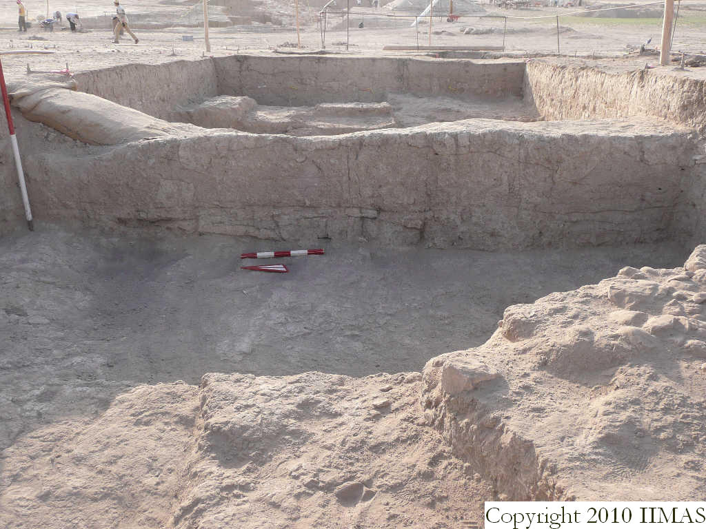
| view/drawing orientation | 2008-8-02 | yM | looking east | [Input File: S811lC.j] | ||||
| text description of view | 2008-8-02 | yM | View of the east section of k13 without the string after a partial removal of the baulk. The shot shows the ancient tell surface (abandonment) f7 above a brickfall f30 and the accumulation f62 covering the mudbrick wall E-W f63 and the possibly wall N-S f77. | [Input File: S811lC.j] | ||||
| constituents within view/drawing | 2008-8-02 | yM | f7 f30 f54 f62 f63 f77 k13 | [Input File: S811lC.j] | ||||