A20v58

File: /MZ/A/A20/D/I//MZ/A/A20/D/V/0058.HTM
Processed on 21-8-2020
The home for this page is A20

Labeling/Designation

Description/Count
photo of view (for views only) 2008-8-06 !!! [Input File: A20VK9c.J]
photo web 2008-8-06 !!! [Input File: A20VK9c.J]
17-7-2020 !!! [Input File: A20_VWX.j]

Analogical Record
templates
17-7-2020 / !!! / [Input File:A20_VWX.j]
2008-9-18 / !! / [Input File:TMPL-S9i.J]
photo of context (v view)
17-7-2020 / !!! / [Input File:A20_VWX.j]
view/drawing orientation 2008-8-06 yM OH W [Input File: S812lC.j]
text description of view 2008-8-06 yM 
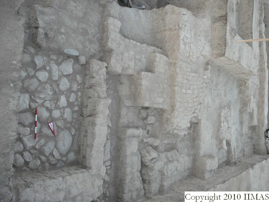
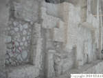
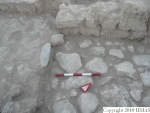
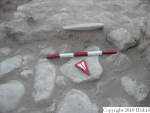
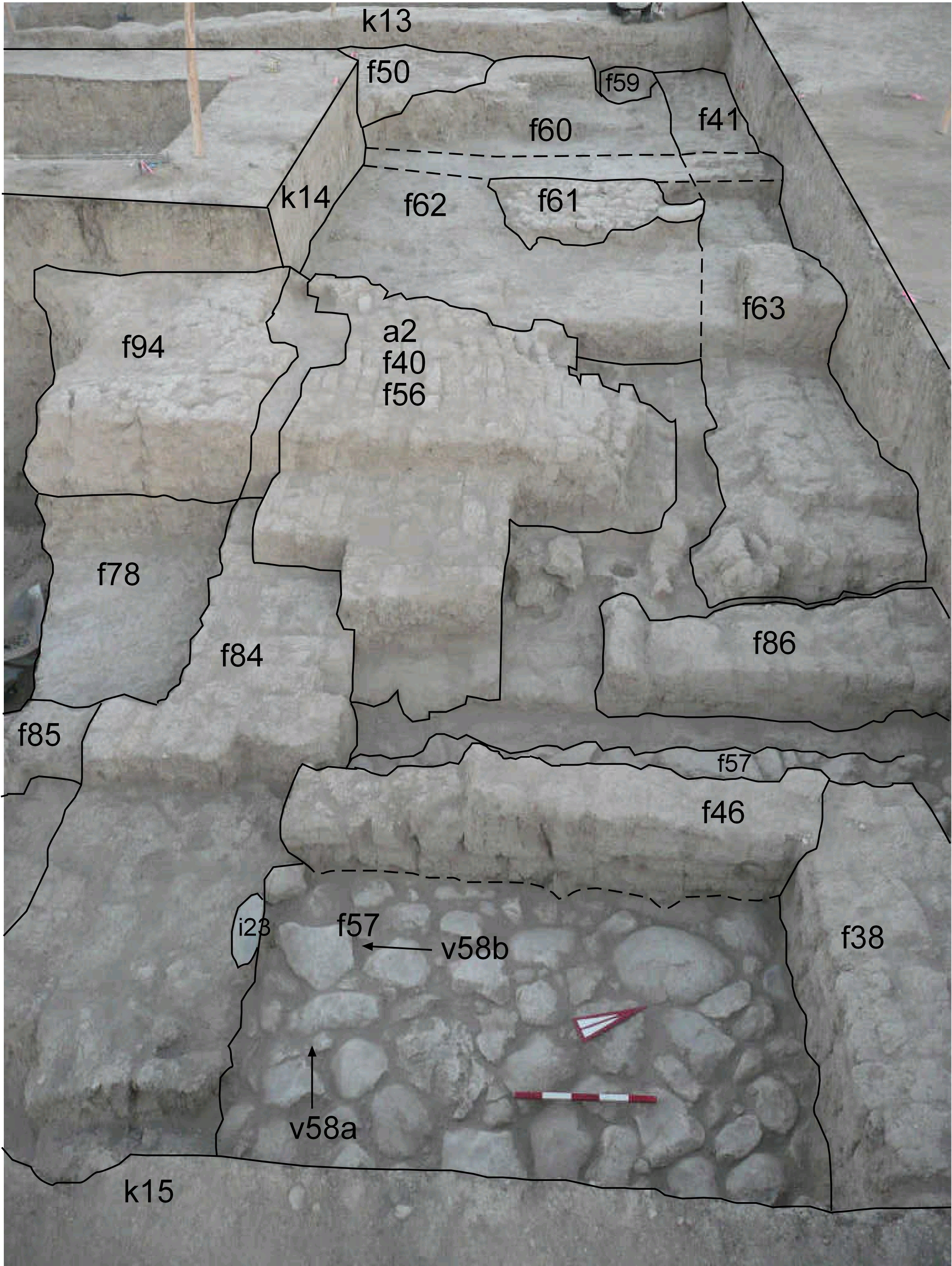
View showing k13, k14 and k15 without baulks so we can have a nice view and a link between the different structures and features. In the foreground there is the a1 formed by stone pavement f57 and the two mudbrick walls f38 E-W and f46 N-S. Inside the room is also visible the i23, a nice grinding stone lying flat next to the wall f84. To the west we have the a2, a mudbrick structure, still to excavate, and the wall f86 probably connected with the big W-E wall, but we don't have for now a clear link. In k13 and k14 are visible the pebble pavement f50 and f61 connected with other accumulations like f60 and f62. [Input File: S812lC.j]
constituents within view/drawing 2008-8-06 yM a1 a2 f38 f40 f41 f46 f50 f56 f57 f59 f60 f61 f62 f63 f78 f84 f85 f86 f94 i23 k13 k14 k15 [Input File: S812lC.j]