
| photo of view (for views only) | 2008-8-27 | dm | |
[Input File: A20VK9c.J] |
| photo web | 2008-8-27 | dm | |
[Input File: A20VK9c.J] |
| templates |
| |||||||
| photo of context (v view) |
| |||||||
| view/drawing orientation | 2008-8-27 | yM | OH S | [Input File: S909lC.j] | ||||
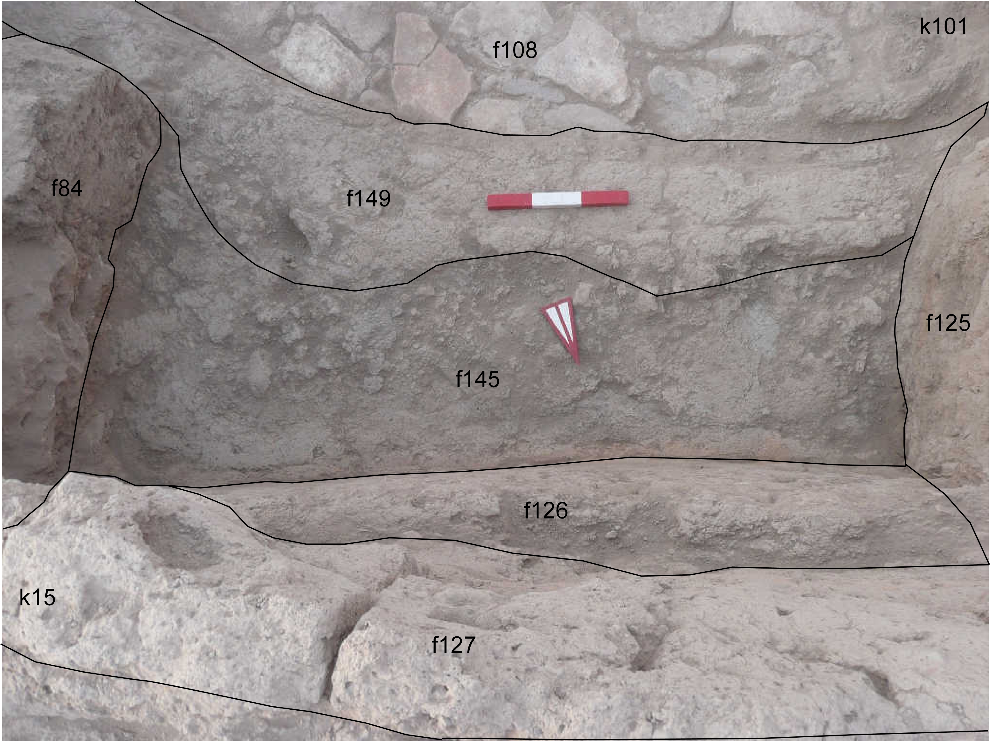
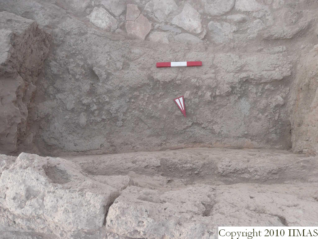
| text description of view | 2008-8-27 | yM | View showing the bricks belonging to the f149. It is probably a wall, slightly semicircular in shape. It is preserved for just one course and it was sitting right on top of the stones of the pavement f108. To the north of f149 there is the accumulation f145. The view also shows the mud brick walls f127 at a higher level and the wall f126, just below it. Two other walls, f125 running north to south and f84 are shown in this photo. | [Input File: S909lC.j] | ||||
| constituents within view/drawing | 2008-8-27 | yM | f84 f108 f125 f126 f127 f145 f149 k101 | [Input File: S909lC.j] | ||||