6. REFERENCE
Analogical Record
| Roster | Date | Author | Record |
|---|---|---|---|
| Template | |||
| Photo of context (v view) | |||
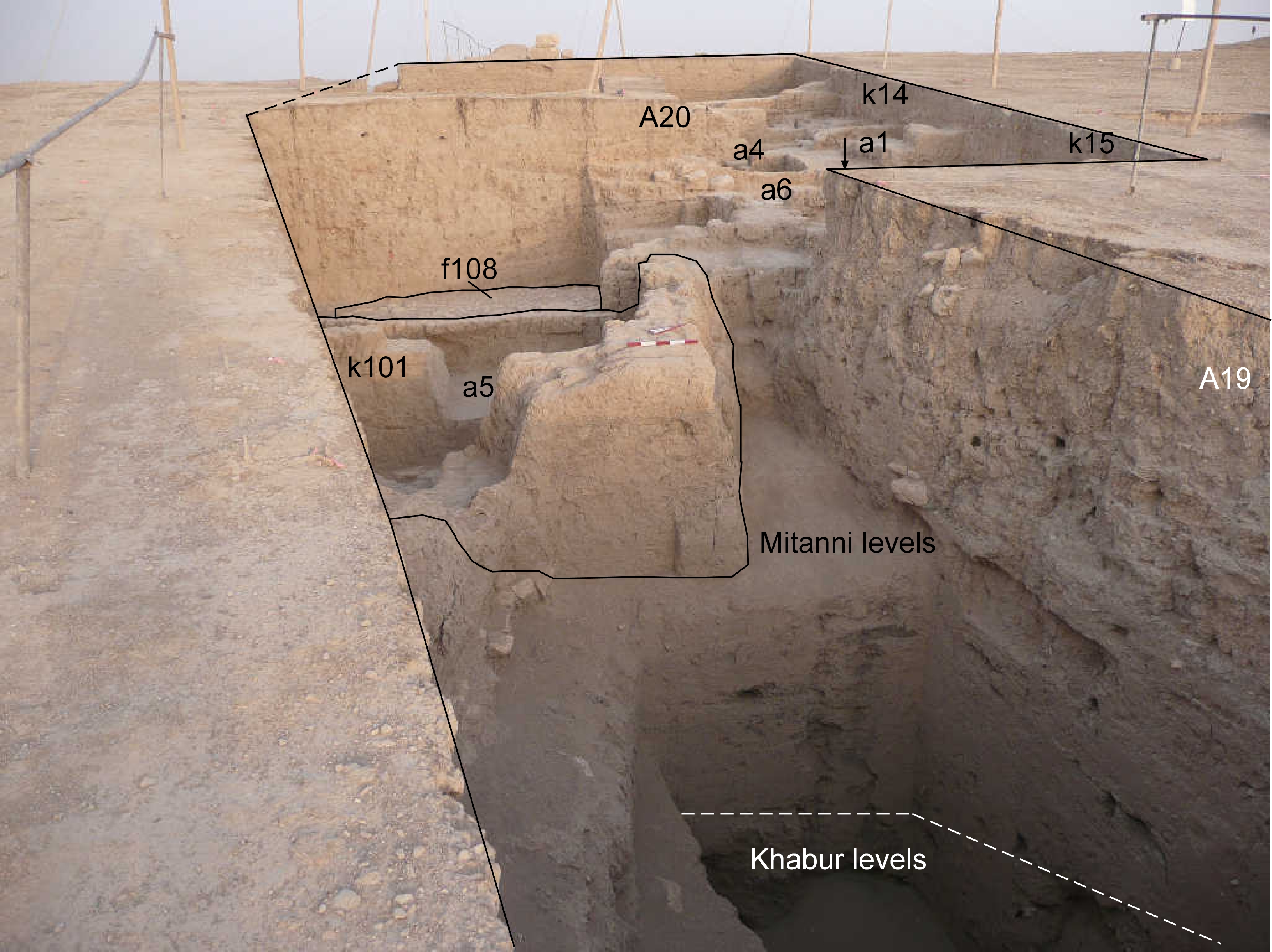
| View/drawing of aggregate | 2008-08-28 | lC | a1 (room) a4 (room) a5 (room) a6 (room) [Input: S909LC2.j] |
| View/drawing of features | 2008-08-28 | lC | f108 (pavement, type b) [Input: S909LC2.j] |
| View/drawing of locus | 2008-08-28 | lC | k14 k15 k101 [Input: S909LC2.j] |
| View/drawing orientation | 2008-08-28 | lC | looking west [Input: S909LC2.j] |
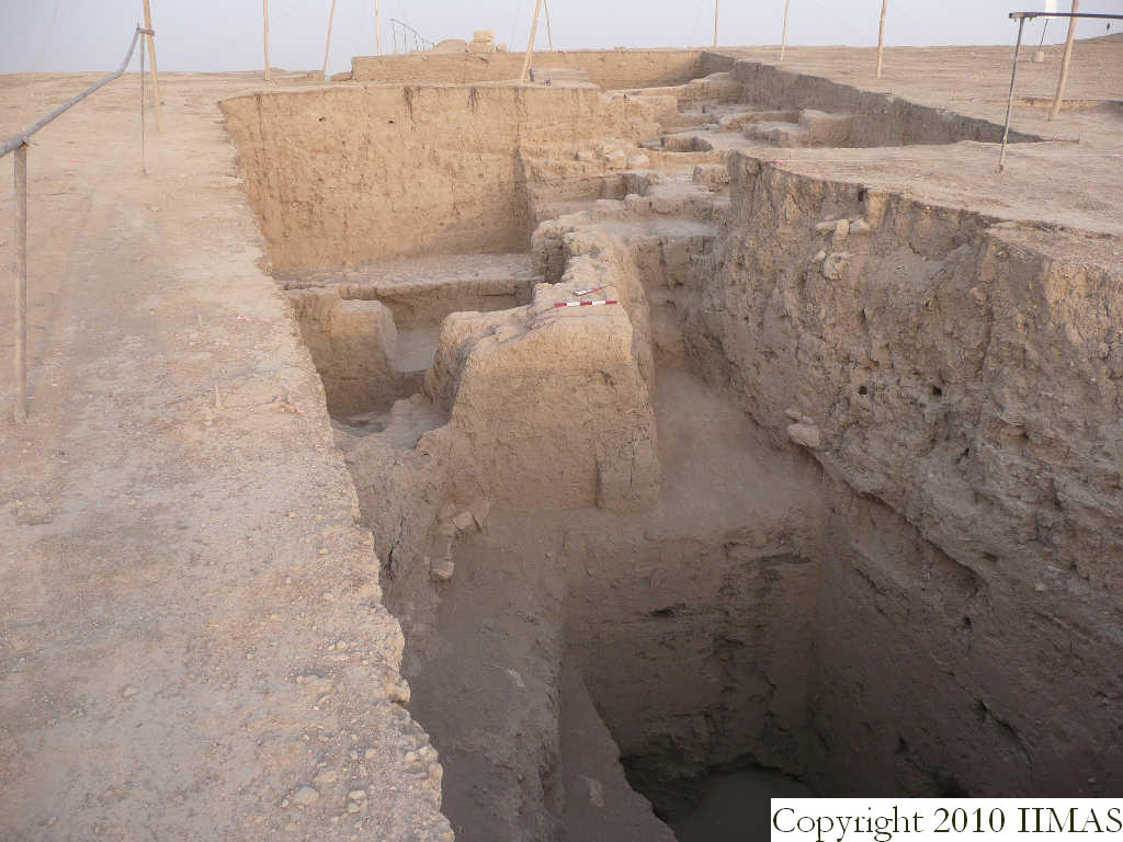
| Text description of view | 2008-08-28 | lC | View showing part of the old excavation of A19 with the new excavation of MZ21, including just a small part of the old A19, but mostly new in A20. The view shows the difference in level between the Khabur level in the deepest part of A19 and the Mitanni levels. The view also shows the different levels of Mitanni occupation in this western part of the tell with the lowest level re-excavated this year shown by room a5 with floor f134 and f135. We then have the level of the pavement f108 and in the upper part the level of a1, a6 and a4 with its stone pavements, just before the last two levels of scattered occupation. [Input: S909LC2.j] |
| Web view | |||
| Photo of view | |||


