|
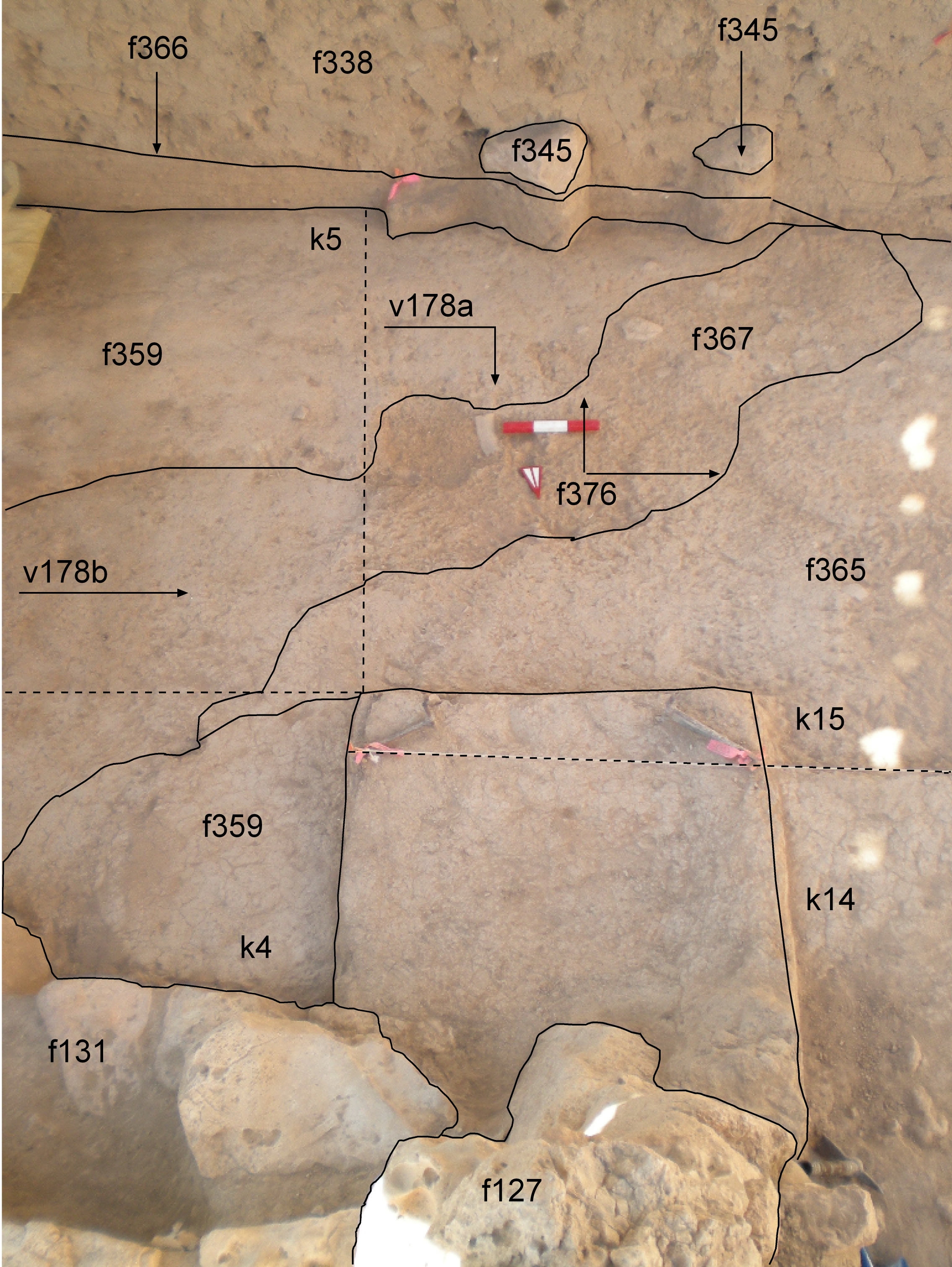
f127 f131 f338 f345 f359 f365 f366 f367 f376 k4 k5 k14 k15 |
| 2009-8-23 | sH.jpg | J02t178 |
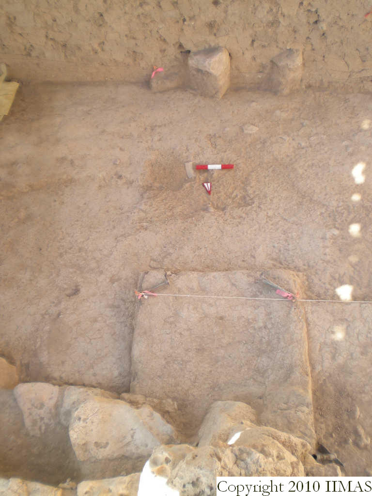
| Summary | 2009-8-26 | cJC | View of the erosion channel f376 as it extends from k5 into k15. It is filled with f367 in which you can see several pebbles and larger sherds. This view, with the south section clearly shows that there were at least two moments of erosion, that which created f376 and its fill f367 and the cut of f366 seen in the south section which comes down and cuts through several features that overlay f367. |
|
|
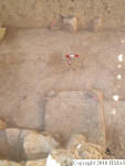
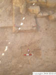
f127 f131 f338 f345 f359 f365 f366 f367 f376 k4 k5 k14 k15 |
| 2009-8-23 | sH.jpg | J02t178 |
| Orientation | 2009-8-11 | cJC | ~S |
| Description of view | 2009-8-11 | cJC | Looking south with eroded layers, erosion channel ( f376) and its location under the brickfall ( f338) |
| B2.View Web |  V22d2089 |
 V22d2090 |
 V22d2091 |
| Photo | 2009-8-12 | dM | L_V22d2090 |