A9v16
File: "/MZ/A/A09/D/V/0016.htm".Processed on 2022-12-02.
6. REFERENCE
Analogical Record
| Roster | Date | Author | Record |
|---|---|---|---|
| Photo of context (v view) | |||
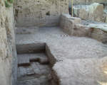
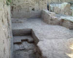
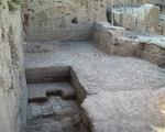
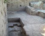
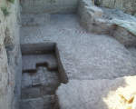
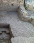
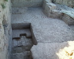
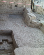
| View/drawing orientation | 1999-06-18 | jl | looking east-southeast [Input: J806JL2.j] |
| General notes on photos | 1999-06-18 | gb | there are two main goals of photo: - (1) show the three presumed phases of AK: (a ) original brick pavement (presumably the first floor of AK), subsequent pebble pavement, still early use, wall jutting out from A6: (b) presumed destruction: red bricks and ash layer sloping up to the E and N; (c) congealed destruction compacted by waterlogging up above, seen only in section (rather poorly preserved since 1997). - (2) show how current assumptions condition our strategy: we will remove bottom layer of f87 (perceived congealed destruction) to expose entire red/black layer of original destruction: this will provide (if it materializes) an excellent seal for possible earliest accumulation of AK. [Input: J620JLW.j] |
| Text description of view | 1999-06-18 | jl | pavement and destruction [Input: J806JL2.j] |
| Web view | |||
