
| photo of view (for views only) | 2008-7-13 | !!! | |
[Input File: A20VK9c.J] |
| photo web | 2008-7-13 | !!! | |
[Input File: A20VK9c.J] |
| templates |
| |||||||
| photo of context (v view) |
| |||||||
| view/drawing orientation | 2008-7-13 | yM | looking south | [Input File: S725lC.j] | ||||
| 2008-7-13 | yM | [Input File: S803lr3.j] | ||||||
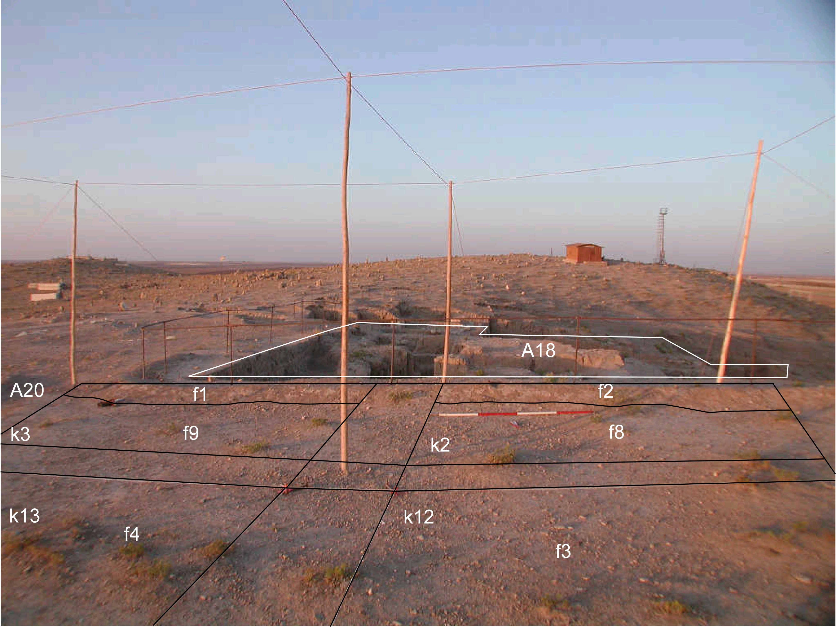
| text description of view | 2008-7-13 | yM | General view of k2 and k3 before excavation with previously excavated mittani structures in the south. | [Input File: S725lC.j] | ||||
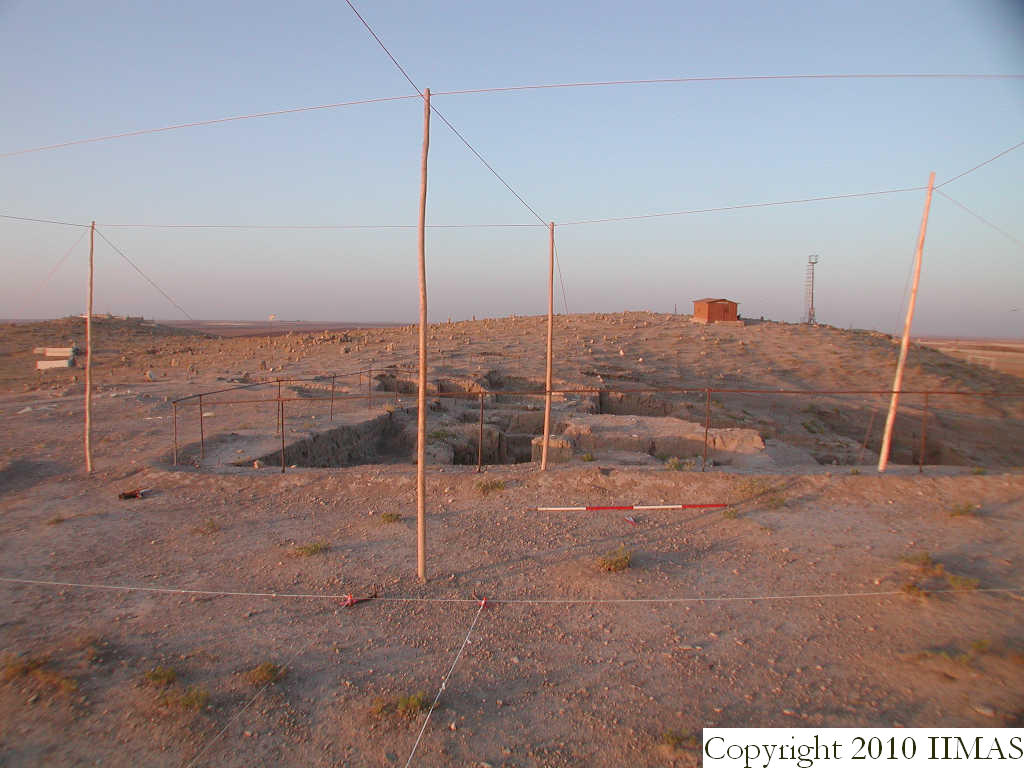
| 2008-7-13 | yM | Area A20 before excavation with previously excavated Mittani structures from A18 in the south. Presumably this occupation area extends into A20 and this photo shows how close the structures are from the topsoil. | [Input File: S803lr3.j] | |||||
| constituents within view/drawing | 2008-7-13 | yM | f1 f2 f8 f9 k2 k3 | [Input File: S725lC.j] | ||||
| 2008-7-13 | yM | f1 f2 f3 f4 f8 f9 k2 k3 k12 k14 | [Input File: S803lr3.j] | |||||