6. REFERENCE
Analogical Record
| Roster | Date | Author | Record |
|---|---|---|---|
| Template | |||
| Photo of context (v view) | |||
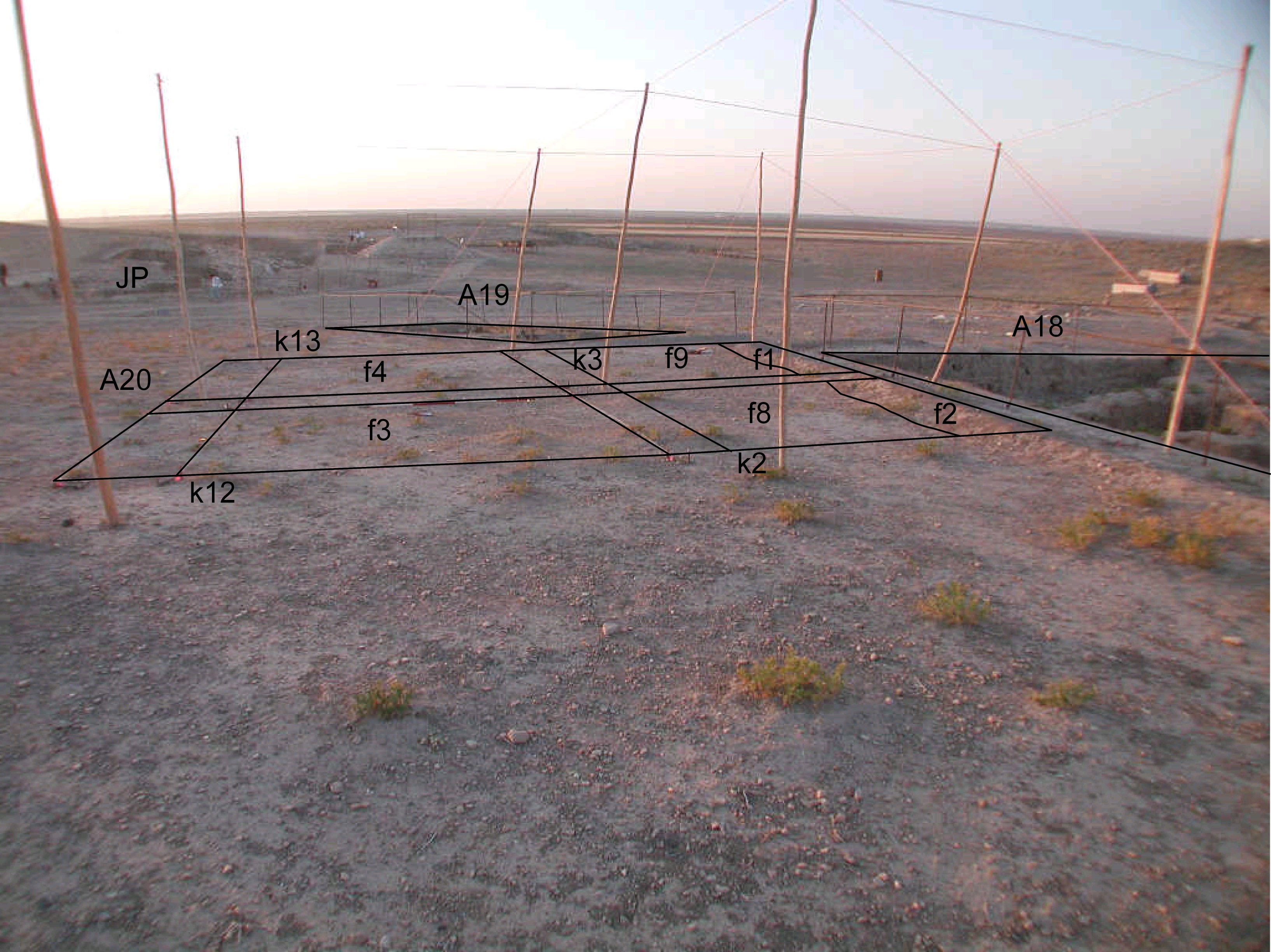
| View/drawing of features | 2008-07-13 | yM | f1 (lens) f2 (lens) f3 (topsoil) f4 (topsoil) f8 (topsoil) f9 (topsoil) [Input: S803LR3.j] |
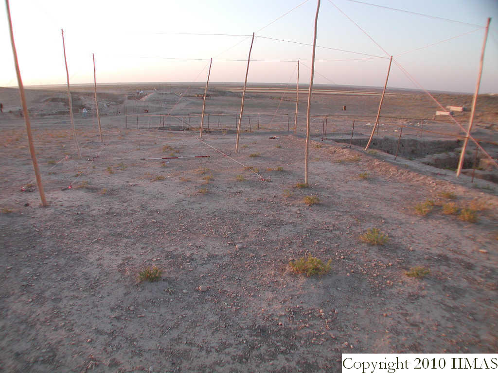
| View/drawing of locus | 2008-07-13 | yM | k2 k3 k12 k13 [Input: S725LC.j] |
| View/drawing orientation | 2008-07-13 | yM | looking east [Input: S725LC.j] |
| Text description of view | 2008-07-13 | yM | General view of k2,k3,k12,and k13 before excavation. Photo shows the topsoil and the berm (f1, f2) in k2 and k3. [Input: S725LC.j] |
| 2008-07-13 | yM | Layout of the first four loci opened in A20 on the first day of excavation. In the east, the raised area is the modern day berm f1 and f2. Immediately to the south, the corner of A18 is visible, north A18. In the distance one is able to see the fence of A19 and see the difference in orientation between A20 and A19. Further east, area JP is visible. [Input: S803LR3.j] | |
| Web view | |||
| Photo of view | |||


