6. REFERENCE
Analogical Record
| Roster | Date | Author | Record |
|---|---|---|---|
| Template | |||
| Photo of context (v view) | |||
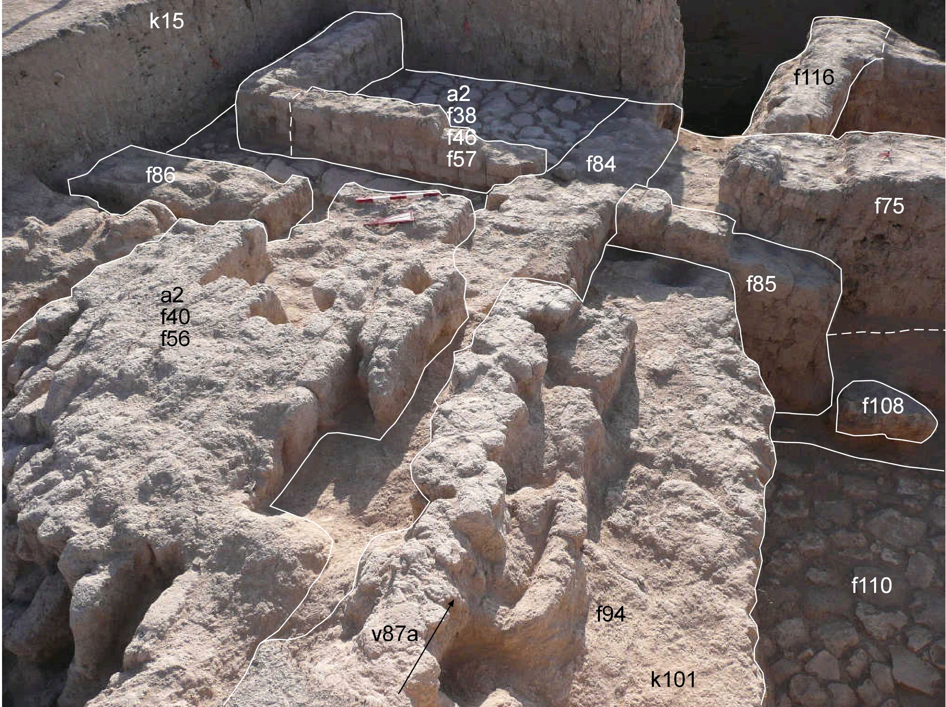
| View/drawing of features | 2008-08-14 | lC | f38 (wall) f40 (wall) f46 (wall) f56 (brick pile) f57 (pavement, type b) f75 (brickfall) f84 (wall) f85 (wall) f86 (wall) f94 (wall) f108 (pavement, type b) f110 (stone installation) [Input: S824LC2.j] |
| View/drawing of locus | 2008-08-14 | lC | k15 k101 [Input: S824LC2.j] |
| View/drawing orientation | 2008-08-14 | lC | looking west [Input: S824LC2.j] |
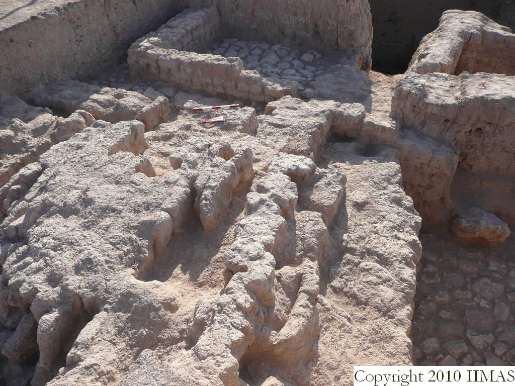
| Text description of view | 2008-08-14 | lC | View showing the different level between the pavement f57 of the a1 in k15 and the a2 before its removing, and k101 with the pavement f110. The shot shows this different level of the two pavements f57 and f110, maybe part of the same strata if we assume a stepped organization of the structures. We will check this hypothesis in following days. [Input: S824LC2.j] |
| Web view | |||
| Photo of view | |||


