6. REFERENCE
Analogical Record
| Roster | Date | Author | Record |
|---|---|---|---|
| Photo of context (v view) | |||
| View/drawing of features | 2008-08-17 | lC | f31 (layer) f36 (accumulation C) f42 (tannur (feature)) f68 (brick pile) f69 (layer) f71 (wall) f73 (pavement, type c) f80 (pavement, type b) f99 (wall) f107 (wall) f112 (pavement, type c) f121 (accumulation A) f122 (pavement, type c) f128 (layer) [Input: S824LC2.j] |
| View/drawing of locus | 2008-08-17 | lC | k3 k4 [Input: S824LC2.j] |
| View/drawing orientation | 2008-08-17 | lC | looking east [Input: S824LC2.j] |
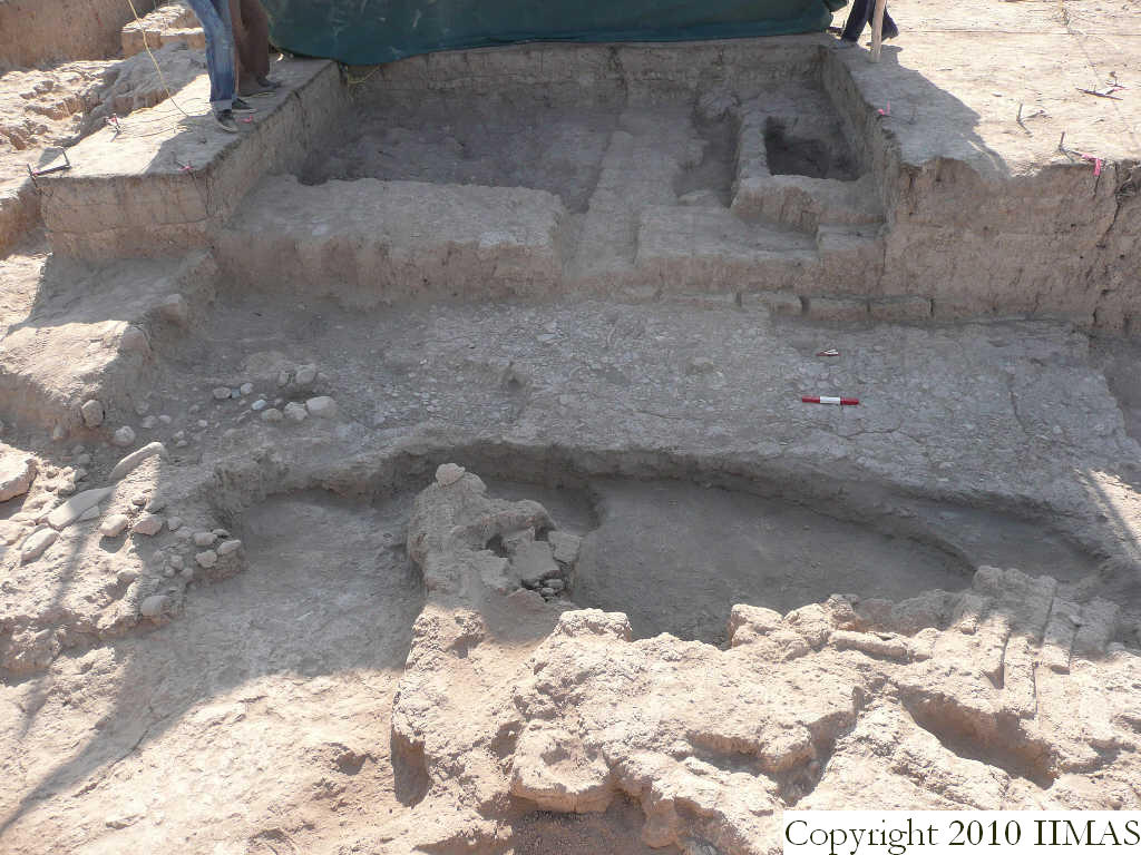
| Text description of view | 2008-08-17 | lC | View showing the structures of k3 and k4 and its relationships after partial removing of the east baulk of k3. The sherd and pebble pavement f112 extending north to south abuts the mud brick wall running north south f99. In the foreground are visible the brickpile f68 and the sloping clay layer f128. [Input: S824LC2.j] |
| Web view | |||
| Photo of view | |||


