2. IDENTIFICATION
Designation
| Roster | Date | Author | Record |
|---|---|---|---|
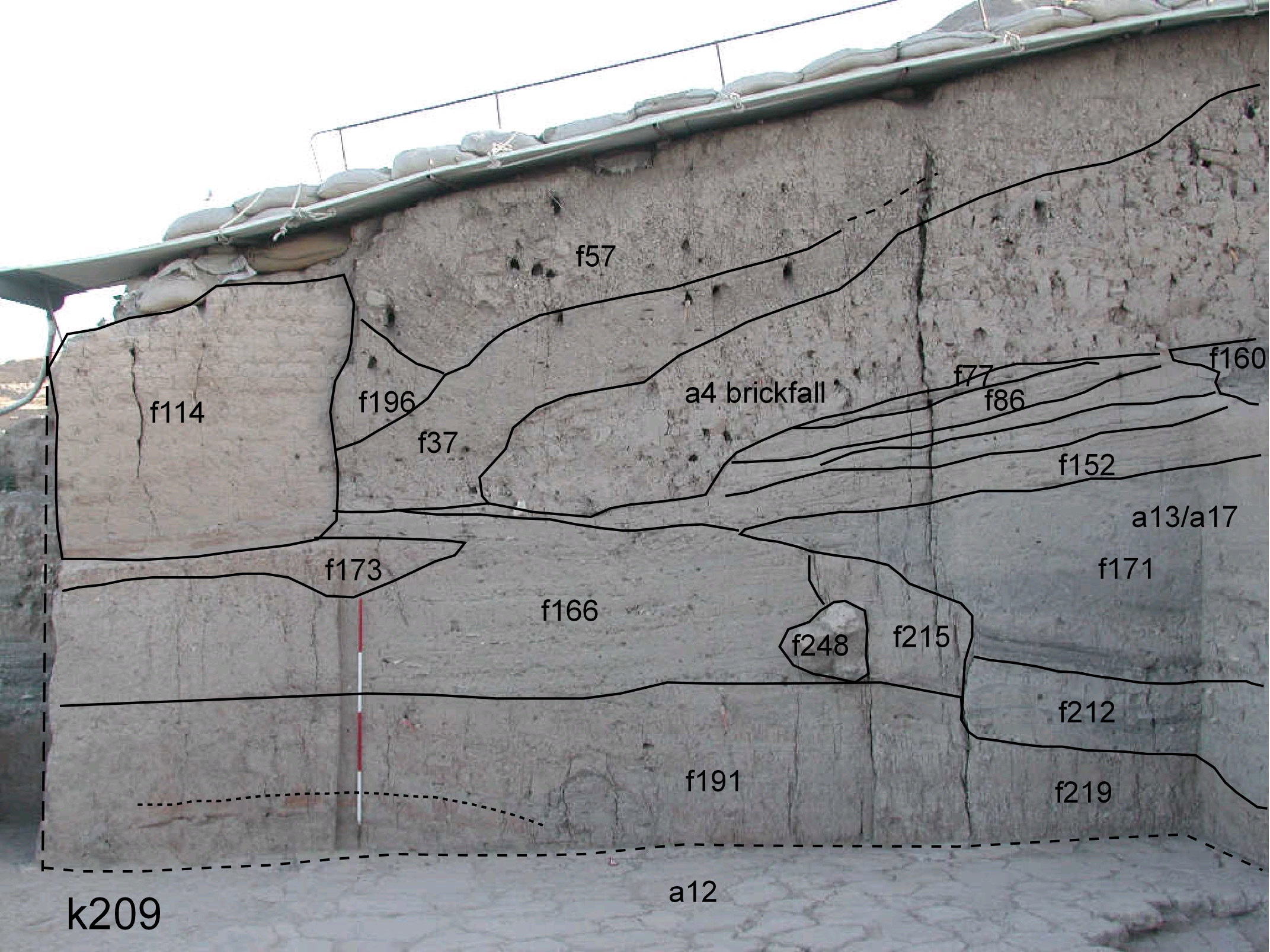
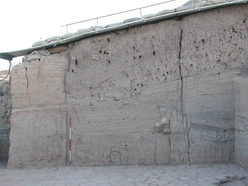
| Description (summary) | 2011-11-23 | lC | View showing the large North A16 section. On top topsoil and brickmelt f37 above the large brickfall a4. Below different layers of ash and more compact material probably linked to the use of late Khabur structures. Further down the large pit a13/a17 and then the reddish material f191 and f219 on top of stone pavement a12. [Input: VY23LC.j] |
6. REFERENCE
Analogical Record
| Roster | Date | Author | Record |
|---|---|---|---|
| Template | |||
| View/drawing of aggregate | 2007-08-03 | pC | a4 (^ brickfall) a12 (^ pavement) a13 (^ pit) a17 (^ pit) [Input: R803PC.j] |
| View/drawing of features | 2007-08-03 | pC | f37 (^ band) f57 (^ topsoil) f77 (^ layer) f86 (^ layer) f114 (^ wall) f152 (^ accumulation) f160 (^ accumulation) f166 (^ accumulation) f171 (fill) f173 (^ fill) f191 (^ accumulation A) f196 (layer) f212 (^ fill) f215 (^ wall) f219 (^ accumulation) f248 (isolated stone) [Input: R803PC.j] |
| View/drawing of locus | 2011-11-23 | lC | k209 [Input: VY23LC.j] |
| View/drawing orientation | 2011-11-23 | lC | n [Input: VY23LC.j] |
| Web view | |||
| Photo of view | |||

