6. REFERENCE
Analogical Record
| Roster | Date | Author | Record |
|---|---|---|---|
| Template | |||
| Photo of context (v view) | |||
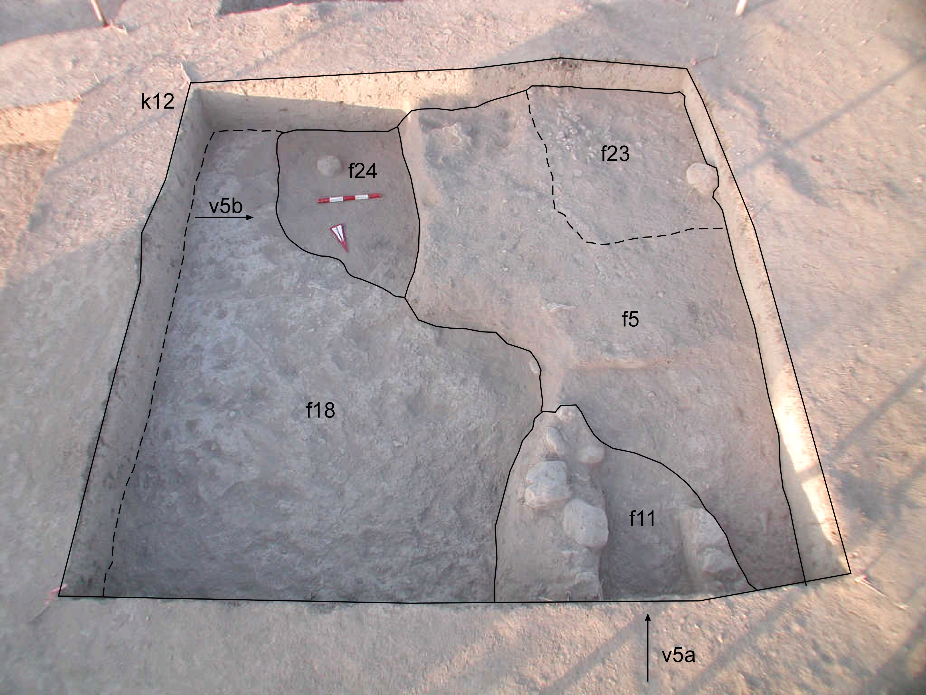
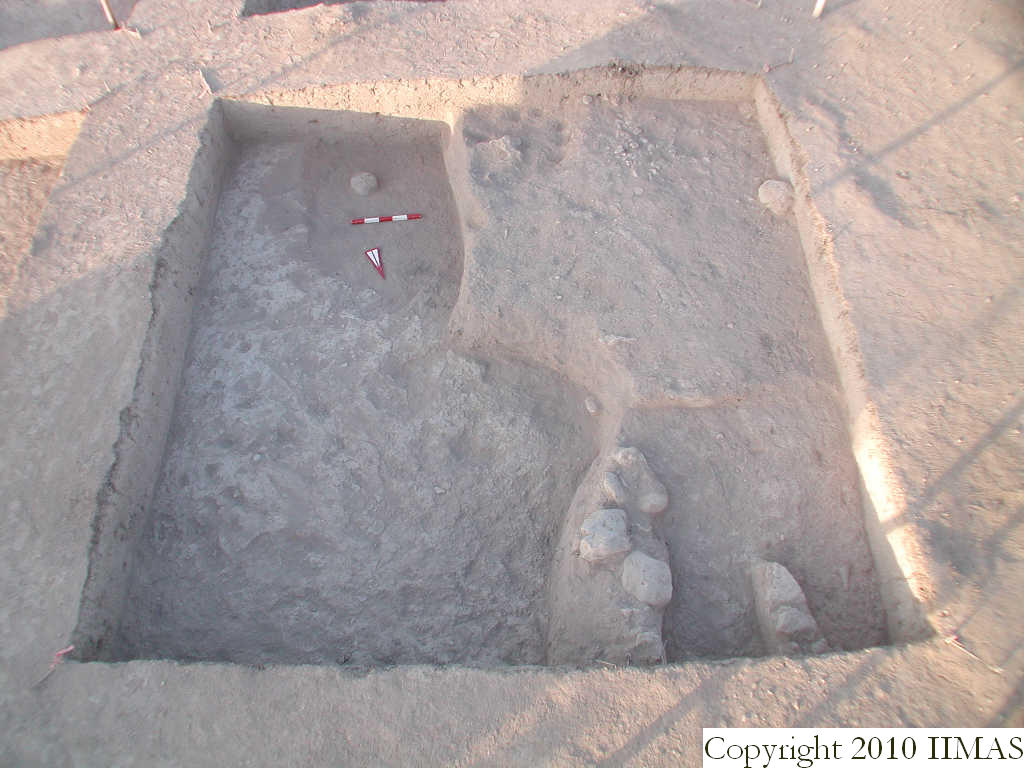
| View/drawing of features | 2008-07-17 | yM | f5 (accumulation C) f11 (stone installation) f18 (layer) f23 (pavement, type c) f24 (accumulation C) [Input: S803LR3.j] |
| View/drawing of locus | 2008-07-17 | yM | k12 [Input: S803LR3.j] |
| View/drawing orientation | 2008-07-17 | yM | looking overhead [Input: S803LR3.j] |
| Text description of view | 2008-07-17 | yM | Overhead view similar to v4 but only of k12, showing two different strata. The latest strata, remnants of scattered occupation with a stone installation f11 and sherd pavement f23 in view (not fully exposed). Both these features sit on f5, pinkish gray surface that is slightly compact which overlays f18. Below, f18 represents the next strata, Tell abandonment with a very compact clay layer that extends into k2, k3, k13, and part of k14 (see f27). In the southeast corner, a semicircular area shows ashy material that abuts f18 with f5 also overlaying it. [Input: S803LR3.j] |
| Web view | |||
| Photo of view | |||
