6. REFERENCE
Analogical Record
| Roster | Date | Author | Record |
|---|---|---|---|
| Template | |||
| Photo of context (v view) | |||
| View/drawing of locus | 2004-07-01 | jw | k24 k32 [Input: O702JW.j] |
| View/drawing orientation | 2004-07-01 | jw | looking west [Input: O702JW.j] |
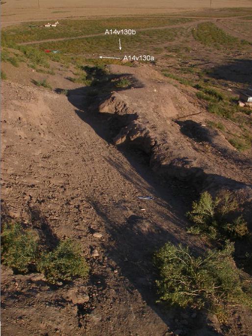
| Text description of view | 2004-07-01 | jw | photo of erosion of the south side of A14 caused when a protective berm gave way and rainwater and snowmelt began to dig a gully along the side of the tell and then westward toward the lower settlement. [Input: O702JW.j] |
| Web view | |||

