6. REFERENCE
Analogical Record
| Roster | Date | Author | Record |
|---|---|---|---|
| Template | |||
| Photo of context (v view) | |||
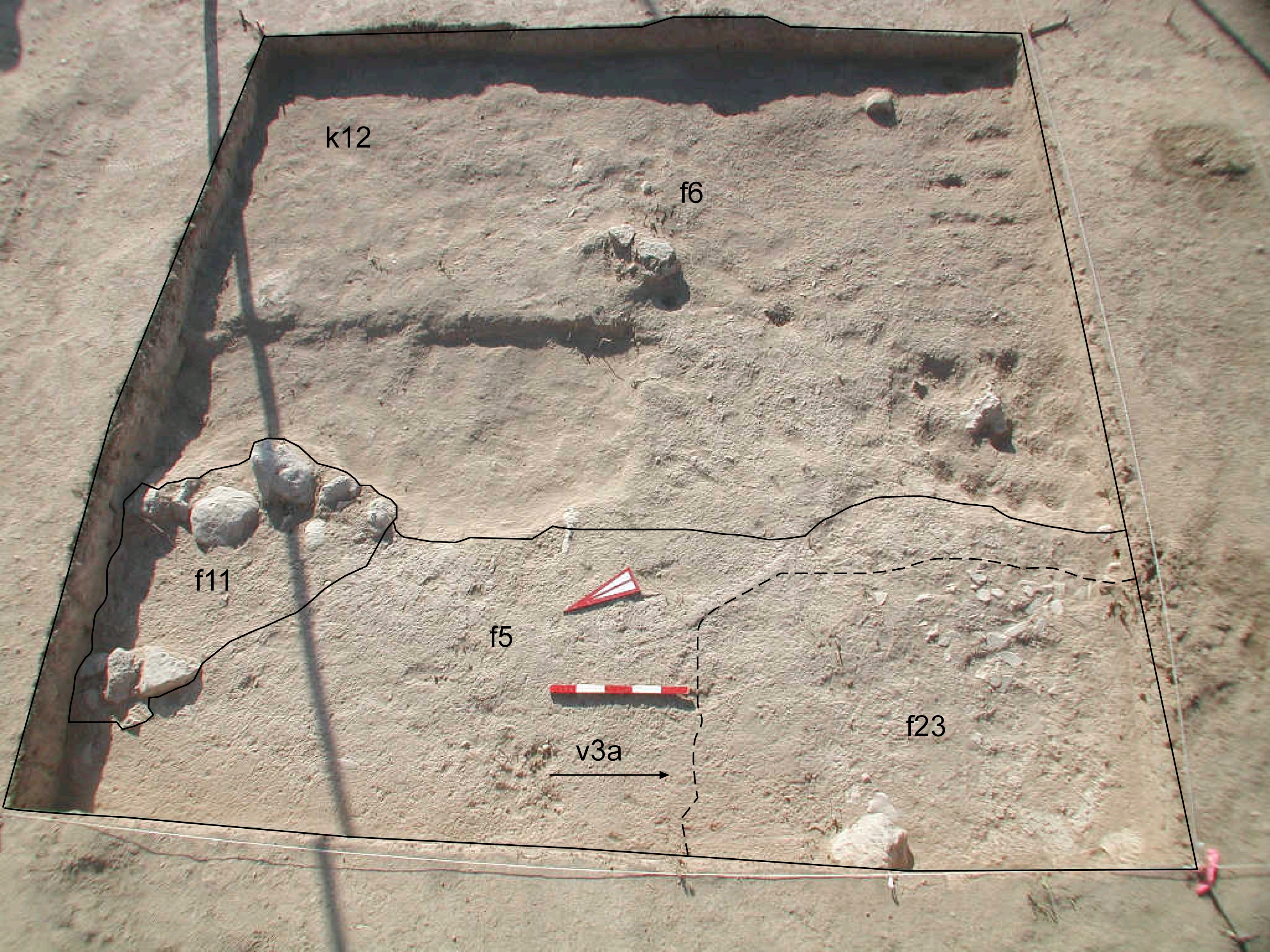
| View/drawing of features | 2008-07-14 | eE | f5 (accumulation C) f6 (accumulation D) f11 (stone installation) f23 (pavement, type c) [Input: S725LC.j] |
| View/drawing of locus | 2008-07-14 | eE | k12 [Input: S725LC.j] |
| View/drawing orientation | 2008-07-14 | eE | looking overhead [Input: S725LC.j] |
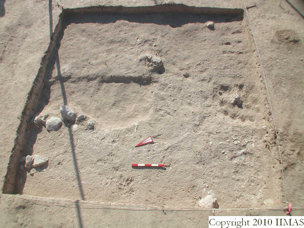
| Text description of view | 2008-07-14 | eE | Overhead view of k12 showing the relationship between f5 and f6, with f11 and f23 emerging. [Input: S725LC.j] |
| 2008-07-14 | eE | Overhead view of emerging scattered occupation immediately after the topsoil level. f11, a small cluster of stones labeled as an installation sits on f5, a more compact surface than f6 seen in the east. In the southwest corner, a small patch of sherds is visible. This the first view of f23, a sherd pavement or lens that eventually covered the entire corner. [Input: S803LR3.j] | |
| Web view | |||
| Photo of view | |||


