6. REFERENCE
Analogical Record
| Roster | Date | Author | Record |
|---|---|---|---|
| Photo of context (v view) | |||
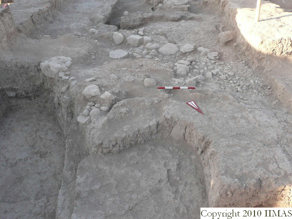
| View/drawing of features | 2008-08-14 | lC | f42 (tannur (feature)) f80 (pavement, type b) f81 (accumulation A) f83 (installation) f89 (layer) f90 (accumulation) f96 (installation) f128 (layer) [Input: S823LC2.j] |
| View/drawing of locus | 2008-08-14 | lC | k3 k13 [Input: S823LC2.j] |
| View/drawing orientation | 2008-08-14 | lC | looking south [Input: S823LC2.j] |
| Text description of view | 2008-08-14 | lC | View showing the drain f83, with the cobble stone pavement f80 in part still covered in its eastern part by the accumulation f81. Just to the north of the drain is visible the mud brick installation f96, probably sustaining the drain. To the south is visible the compact clay layer f128 sloping down. It seems that the pebble pavament f80 is above it. In the beckground the picture also shows the accumulation f90, the tannur f42 and part ot the ashy layer f36 and of the brickpile f68. [Input: S823LC2.j] |
| Web view | |||
| Photo of view | |||


