
| photo of view (for views only) | 2008-9-13 | fab | |
[Input File: A20VK9c.J] |
| photo web | 2008-9-13 | fab | |
[Input File: A20VK9c.J] |
| templates |
| |||||||
| photo of context (v view) |
| |||||||
| view/drawing orientation | 2008-9-15 | lC | OH | [Input File: S917lC4.j] | ||||
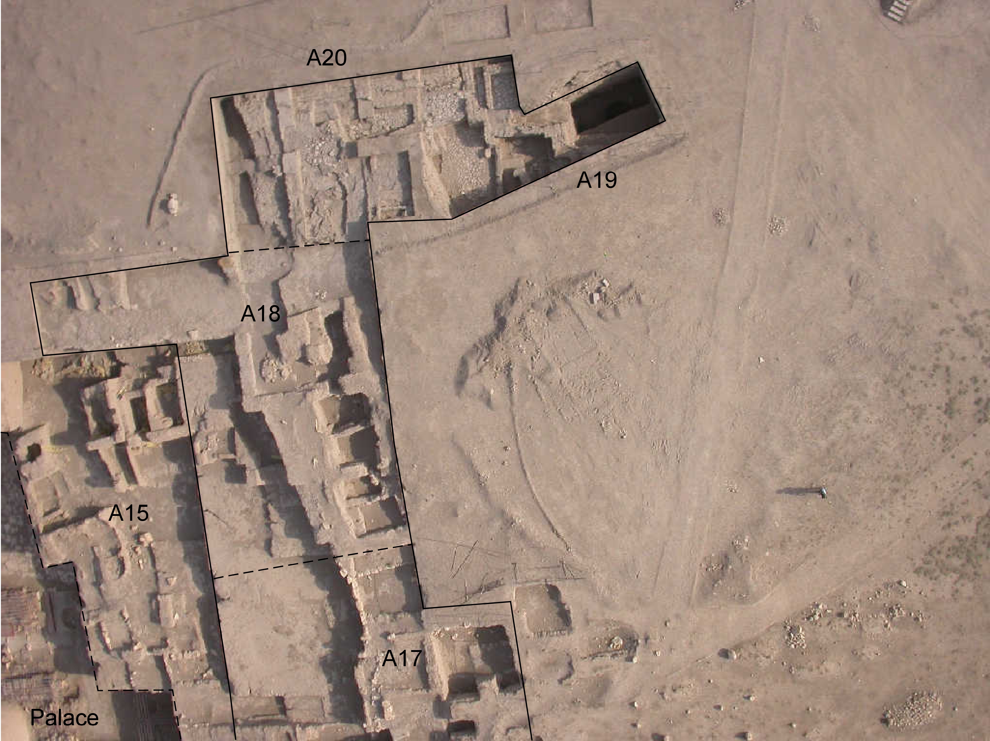
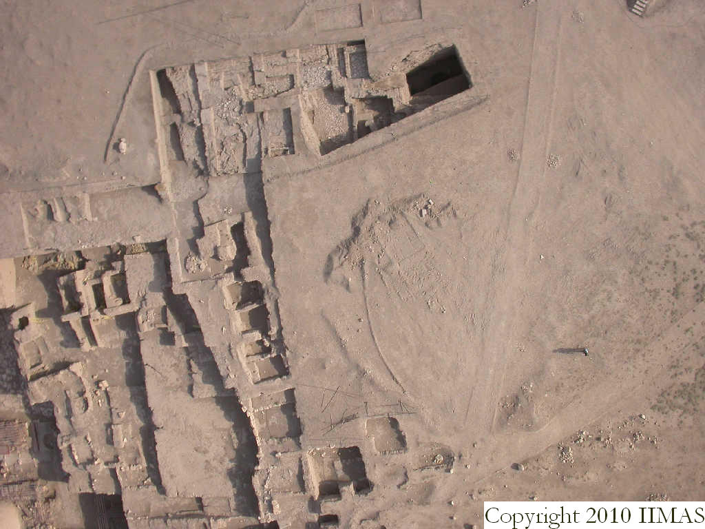
| text description of view | 2008-9-15 | lC | Kite view showing the excavation area of A20 in relationship with the other areas of AA. South-east of A20 we can see the old excavation of A19, in its western part incorporated in A20. To the south we have the area of A18 and A17 showing Mittani structures, whereas to the west the view shows the lower levels of Khabur occupation until the level of the palace AP. | [Input File: S917lC4.j] | ||||