6. REFERENCE
Analogical Record
| Roster | Date | Author | Record |
|---|---|---|---|
| Photo of context (v view) | |||
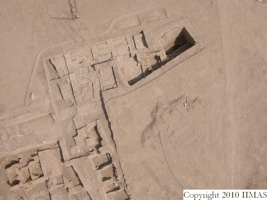
| View/drawing orientation | 2008-09-15 | lC | looking overhead [Input: S917LC4.j] |
| Text description of view | 2008-09-15 | lC | Kite view showing just A20, A19 and part of A18. This view, taken from a lower height, shows the structures excavated in A20. Easily recognizable are the ashy layer f22 and f24, the drain f83 with the pebble pavement f80, and the stones pavement f108, f57, f132 and f93. In the northern portion of A20 the view shows also the big mud brick wall ^w1 running east to west. [Input: S917LC4.j] |
| Web view | |||
| Photo of view | |||


