1. OVERVIEW
| Roster | Date | Author | Record |
|---|---|---|---|
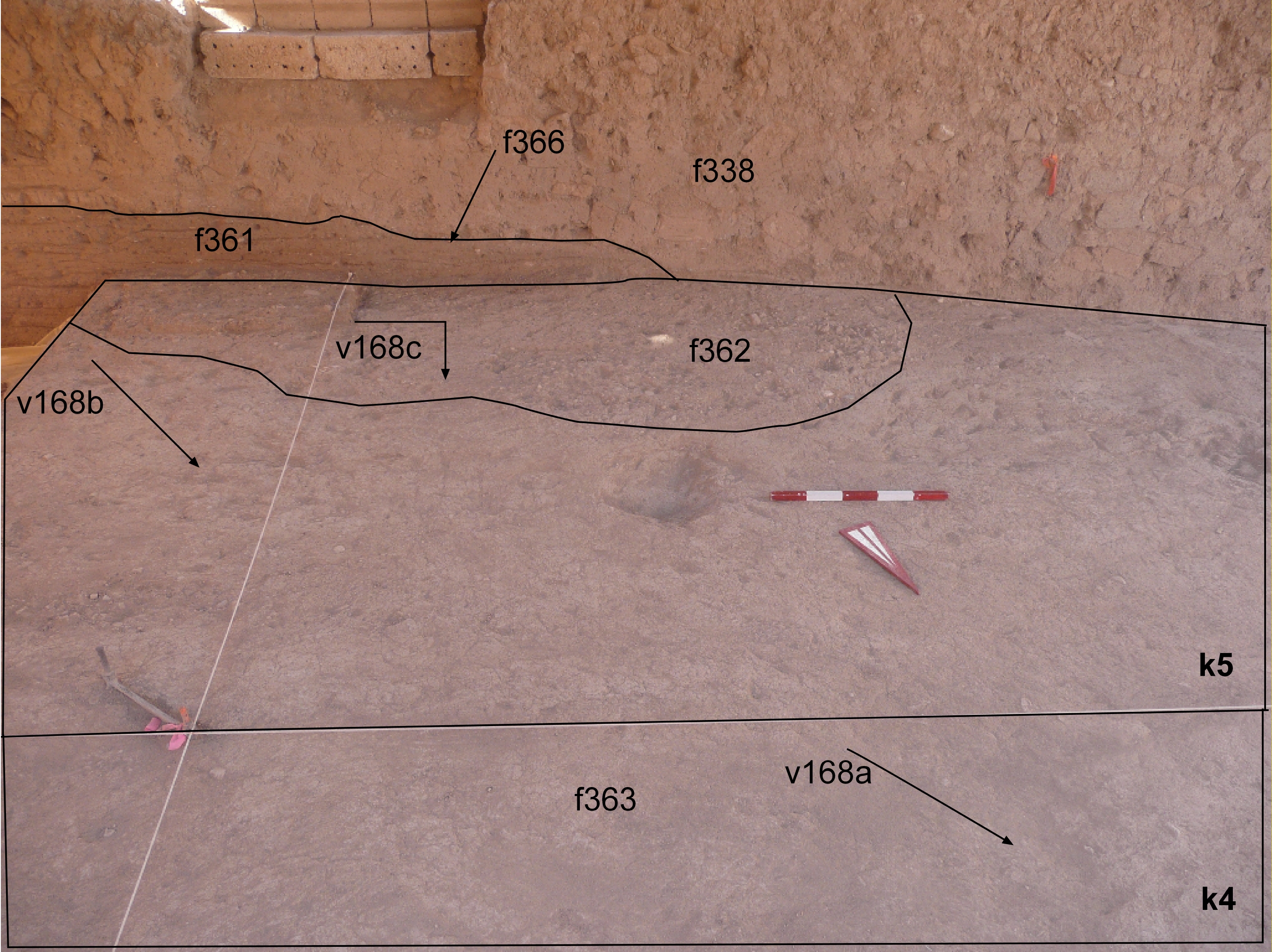
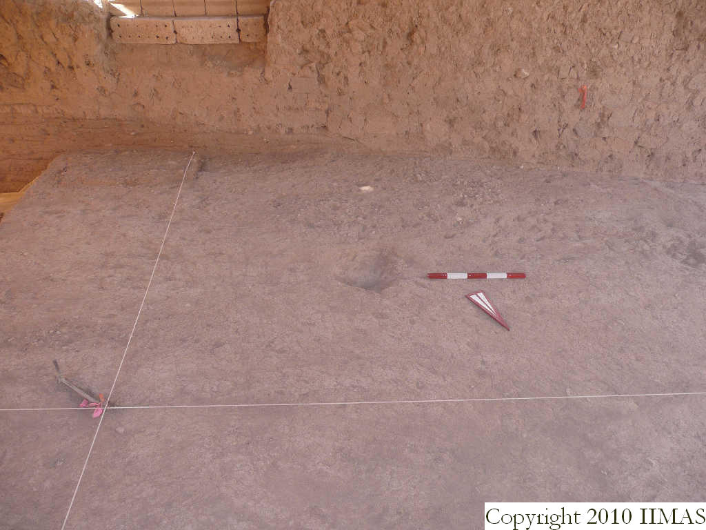
| Summary | 2009-08-26 | cJC | This view shows the location of the patch of sherds and pebbles, f362 in relation to the brickfall (f338) and the erosion cut (f366) in the south section. It appears that the erosion has removed the western portion of f362 as it does not extend to the west. [Input: T826CJC.j] |
6. REFERENCE
Analogical Record
| Roster | Date | Author | Record |
|---|---|---|---|
| Template | |||
| Photo of context (v view) | |||
| View/drawing of features | 2009-08-03 | sG | f338 (brickfall) f361 (floor, type d) f362 (pavement, type c) f363 (floor, type d) f366 (erosion cut) [Input: T826CJC3.j] |
| View/drawing of locus | 2009-08-03 | sG | k4 k5 [Input: T826CJC3.j] |
| View/drawing orientation | 2009-08-03 | sG | looking south [Input: T826CJC3.j] |
| Text description of view | 2009-08-03 | sG | Showing apron (f131) and relation to floor f362 [Input: T826CJC3.j] |
| Web view | |||
| Photo of view | |||
