2. IDENTIFICATION
Designation
| Roster | Date | Author | Record |
|---|---|---|---|
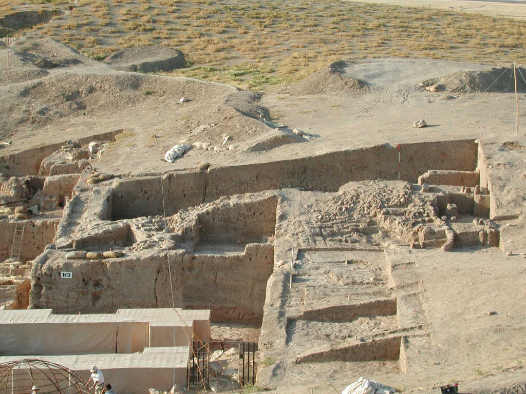
| Description (summary) | 2002-07-30 | lR | Northern view of A16 and Tell showing the brickfall layer and the pit below a2 [Input: N114LR3.j] |
6. REFERENCE
Analogical Record
| Roster | Date | Author | Record |
|---|---|---|---|
| Template | |||
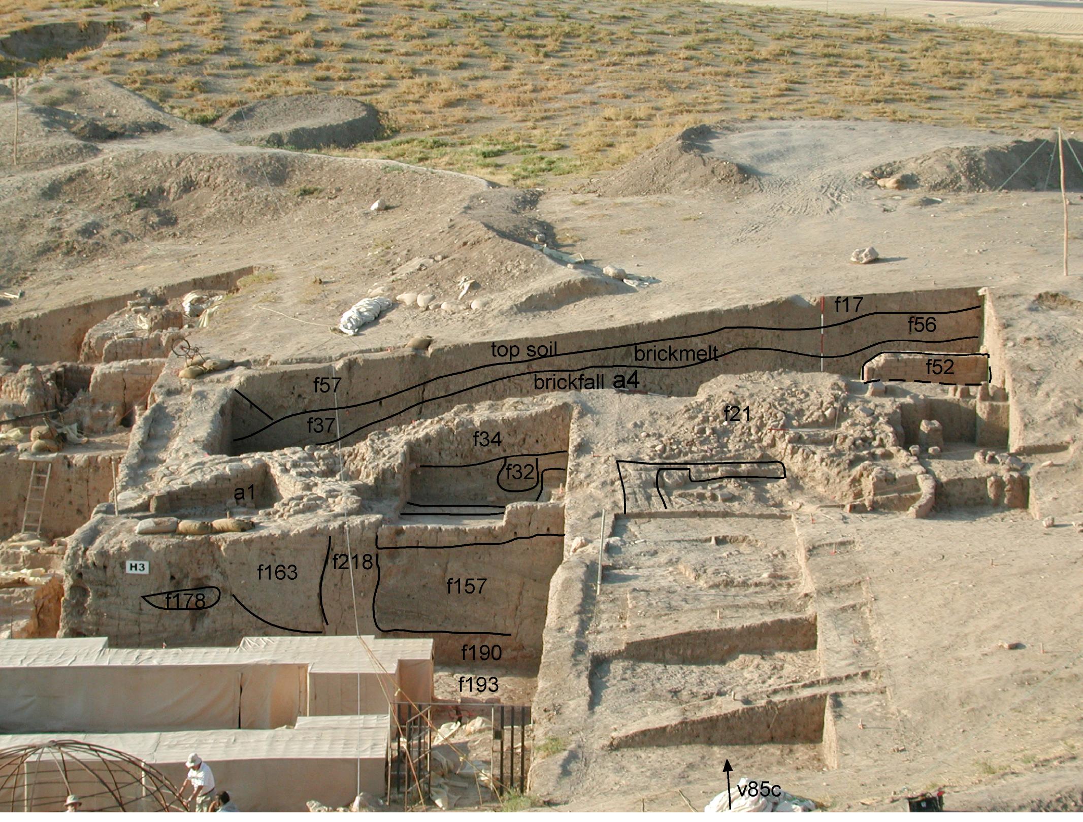
| View/drawing of aggregate | 2002-07-30 | lR | a1 (^ structure) a3 (^ house) a4 (^ brickfall) [Input: L818LR2.j] |
| View/drawing of features | 2002-07-30 | lR | f17 (^ topsoil) f21 (^ brickfall) f32 (^ fill) f34 (^ brickfall) f37 (^ band) f52 (^ wall) f56 (^ layer) f57 (^ topsoil) f157 (^ accumulation) f163 (accumulation C) f178 (^ layer) f190 (^ layer) f193 (^ pavement) f218 (^ structure) [Input: L818LR2.j] |
| View/drawing orientation | 2002-07-30 | lR | n [Input: L818LR2.j] |
| Web view | |||
| Photo of view | |||

