6. REFERENCE
Analogical Record
| Roster | Date | Author | Record |
|---|---|---|---|
| Template | |||
| Photo of context (v view) | |||
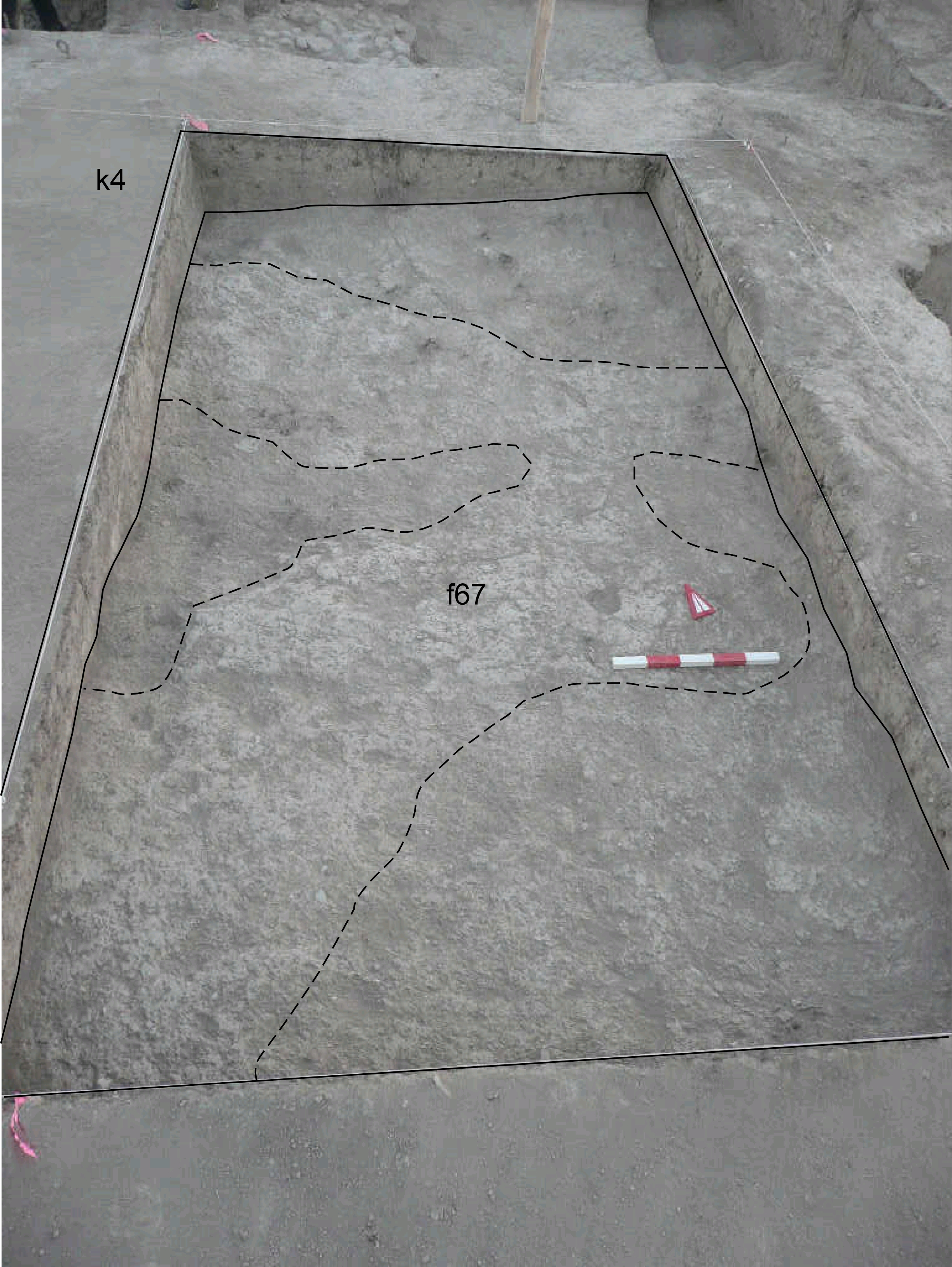
| View/drawing of features | 2008-08-03 | lC | f67 (layer) [Input: S811LC.j] |
| View/drawing of locus | 2008-08-03 | lC | k4 [Input: S811LC.j] |
| View/drawing orientation | 2008-08-03 | lC | looking north [Input: S811LC.j] |
| Text description of view | 2008-08-03 | lC | View showing k4 after removing of the topsoil f66 with the emerging of f67, a layer composed by patches of brickmelt and softer brown soil. This situation is like in k14 where the ancient tell surface f20 seems disappearing toward south. [Input: S811LC.j] |
| Web view | |||
| Photo of view | |||


