
| photo of view (for views only) | 2008-8-07 | !!! | |
[Input File: A20VK9c.J] |
| photo web | 2008-8-07 | !!! | |
[Input File: A20VK9c.J] |
| 17-7-2020 | !!! | |
[Input File: A20_VWX.j] | |
| 17-7-2020 | !!! | |
[Input File: A20_VWX.j] | |
| 17-7-2020 | !!! | |
[Input File: A20_VWX.j] |
| templates |
| |||||||
| photo of context (v view) |
| |||||||
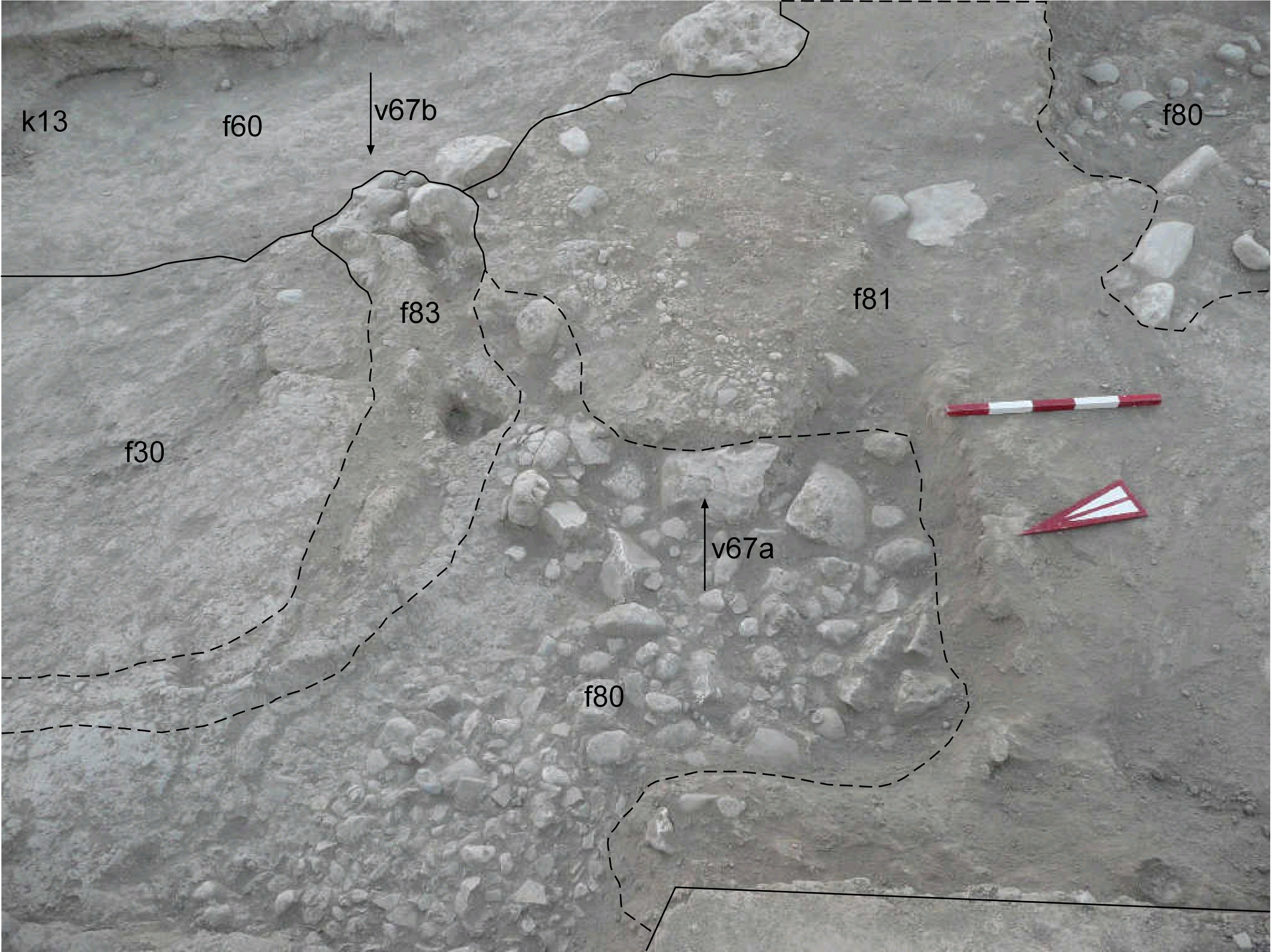
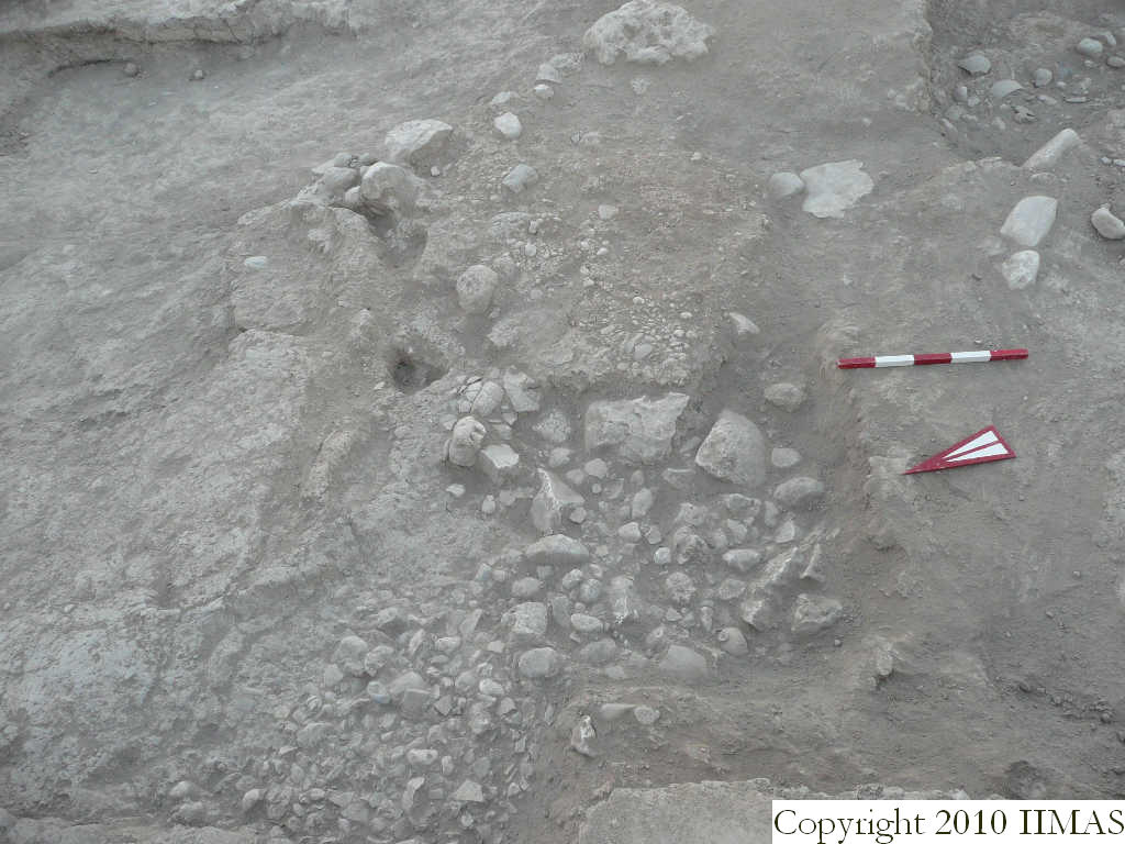
| view/drawing orientation | 2008-8-07 | sE | looking east | [Input File: S812lC.j] | ||||
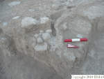
| text description of view | 2008-8-07 | sE | View showing the pebble and sherd pavement f80 just partially uncovered after the removal of part of the accumulation f81. Next to the pavement f81 has been identified a drain f83 running from east to the north-west in a probable semicircular shape, but the clear boundaries have still to be found. | [Input File: S812lC.j] | ||||
| constituents within view/drawing | 2008-8-07 | sE | f30 f60 f80 f81 f83 k13 | [Input File: S812lC.j] | ||||