6. REFERENCE
Analogical Record
| Roster | Date | Author | Record |
|---|---|---|---|
| Photo of context (v view) | |||
| View/drawing of aggregate | 2008-08-21 | sE | a2 (brick installation) [Input: S901LC2.j] |
| View/drawing of features | 2008-08-21 | sE | f40 (wall) f56 (brick pile) f127 (wall) f132 (pavement, type c) f150 (layer) [Input: S901LC2.j] |
| View/drawing of locus | 2008-08-21 | sE | k14 [Input: S901LC2.j] |
| View/drawing orientation | 2008-08-21 | sE | looking overhead [Input: S901LC2.j] |
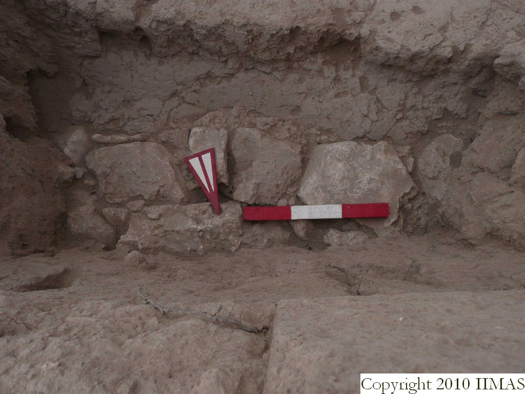
| Text description of view | 2008-08-21 | sE | Close up of the a2 after the removal of some vertical bricks. The view shows the stones of the pavement f132, the clay layer f150 going underneath, that links the stones with the shallow mud brick wall f127, running east to west. [Input: S901LC2.j] |
| Web view | |||
| Photo of view | |||


