6. REFERENCE
Analogical Record
| Roster | Date | Author | Record |
|---|---|---|---|
| Template | |||
| Photo of context (v view) | |||
| View/drawing of aggregate | 2008-09-15 | lC | a1 (room) a3 (installation) a4 (room) a5 (room) a6 (room) [Input: S917LC4.j] |
| View/drawing of features | 2008-09-15 | lC | f22 (accumulation C) f24 (accumulation C) f52 (layer) f71 (wall) f73 (pavement, type c) f82 (brickfall) f84 (wall) f86 (wall) f98 (brickfall) f99 (wall) f107 (wall) f108 (pavement, type b) f112 (pavement, type c) f152 (wall) [Input: S917LC4.j] |
| View/drawing of locus | 2008-09-15 | lC | k2 k3 k4 k12 k13 k14 k15 k101 [Input: S917LC4.j] |
| View/drawing orientation | 2008-09-15 | lC | looking overhead [Input: S917LC4.j] |
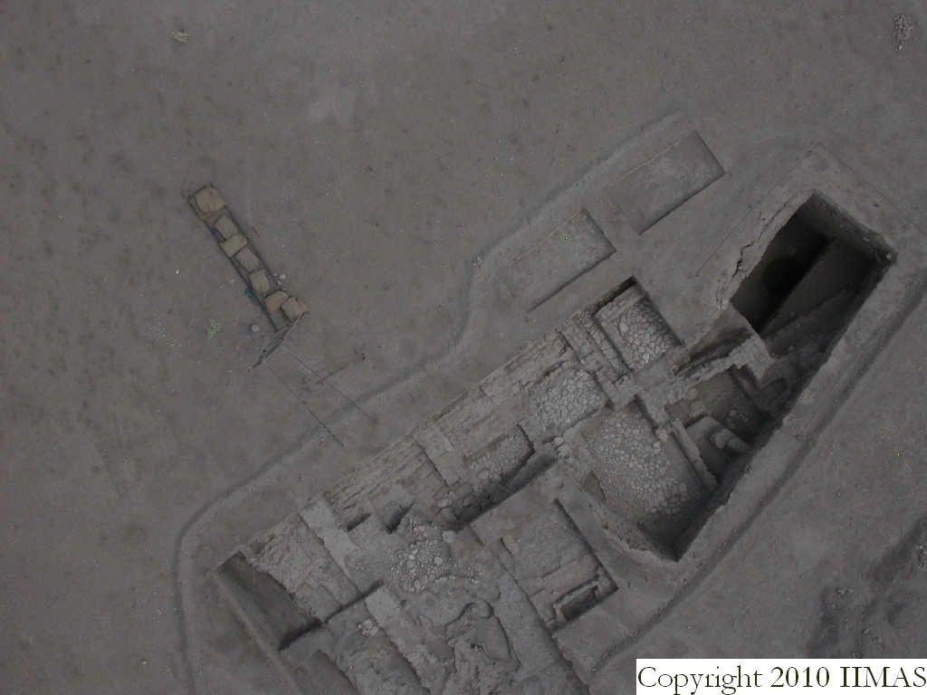
| Text description of view | 2008-09-15 | lC | Kite view showing all the A20 excavation. From this view we can appreciate all the structures. The big mud brick wall running east to west along for loci, k12, k13, k14 and part of k15; the four stone pavements linked with the walls, forming a1, a4, a6 and f108. From this view we can see the wall f86 and f152 in almost perfect line, so probably belonging to the same structure or period, together with the walls f84 and probably also the big wall ^w1. To the west the view shows all the installations and the sharp edge between the bricky mass f52, f82, f98 and the thick ashy layer f22 and f24. [Input: S917LC4.j] |
| Web view | |||
| Photo of view | |||


