6. REFERENCE
Analogical Record
| Roster | Date | Author | Record |
|---|---|---|---|
| Photo of context (v view) | |||
| View/drawing of aggregate | 2008-09-15 | lC | a1 (room) a3 (installation) a4 (room) a5 (room) a6 (room) [Input: S917LC4.j] |
| View/drawing of features | 2008-09-15 | lC | f22 (accumulation C) f24 (accumulation C) f52 (layer) f71 (wall) f82 (brickfall) f84 (wall) f86 (wall) f98 (brickfall) f108 (pavement, type b) f112 (pavement, type c) f152 (wall) [Input: S917LC4.j] |
| View/drawing of locus | 2008-09-15 | lC | k2 k3 k4 k12 k13 k14 k15 k101 [Input: S917LC4.j] |
| View/drawing orientation | 2008-09-15 | lC | looking overhead [Input: S917LC4.j] |
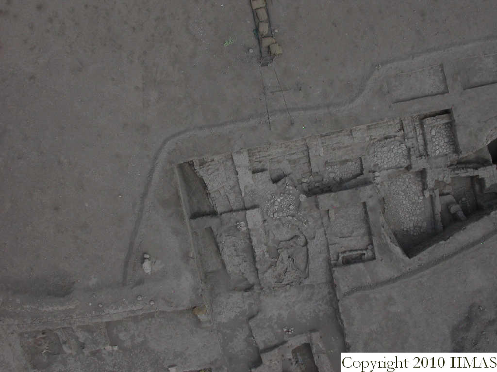
| Text description of view | 2008-09-15 | lC | Kite view showing A20 excavation and the deep excavation of A19. The view shows clearly the stone pavements in the eastern part of A20, connected with the mud brick walls closing some rooms. We can see the stone pavement f108, the stone pavement f57 forming with two mud brick walls the room a1. Next to it there are two small rooms a6 and a4. To the north the big mud brick wall ^w1 running east to west along k12, k13, k14 and part of k15. To the west are visible the drain and the pebble pavement of a3, and the ashy layer f22 and f24 abutting the sharp edge of the brick mass next to it. [Input: S917LC4.j] |
| Web view | |||
| Photo of view | |||


