Back to top: Volumetric data ("topography") for Unit J2 Dailies and plans
Introduction
Drawings are an important source of information in the archaeological record. At excavations in Tell Mozan we have several methods for recording excavated features in drawings.
First, we create templates using photos, in which we draw the limits of each feature and its number.
A second type of graphic record are the plots, in which we use CAD applications to draw the outlines of the most important features, thereby georeferencing them.
The third type of graphic record are daily sketches. Each day we sketch the features we excavate. These drawings are not measured drawings, but they are very useful.
The last graphic record are the floor plan measured drawings of the excavated architecture.
Back to top: Volumetric data ("topography") for Unit J2 Dailies and plans
Dailies
create main sketches in freehand as for A16 and whrite text
Back to top: Volumetric data ("topography") for Unit J2 Dailies and plans
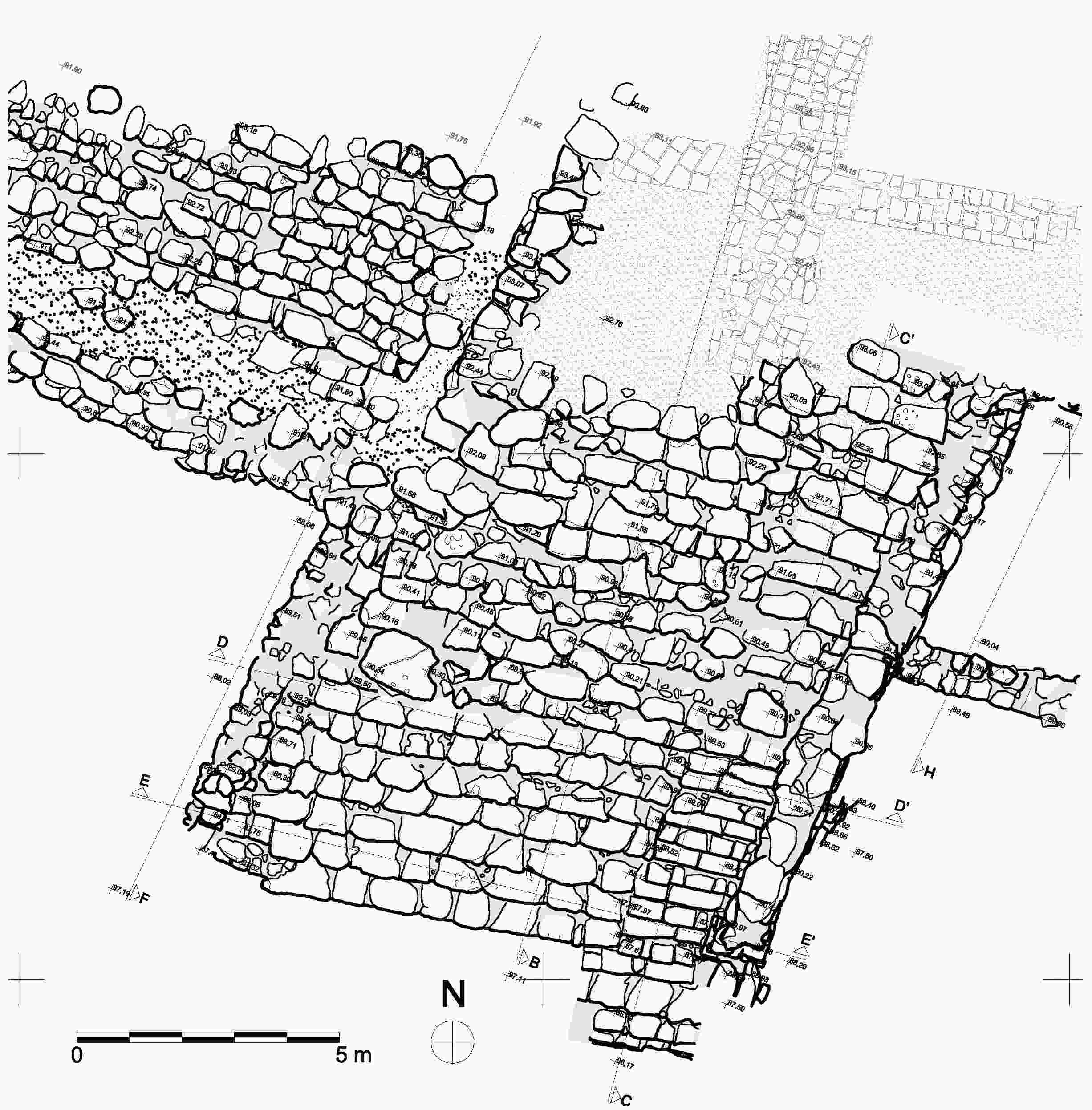
Floor plans
| The complete floor plan of the monumental access was drawn by hand in scale 1:50 during season 2010 from J. Goischke and P. Camatta. |
|
Back to top: Volumetric data ("topography") for Unit J2 Dailies and plans