| Roster |
Date |
Author |
Record |
| Daily notes about recovery of elements |
2002-09-22 |
lR |
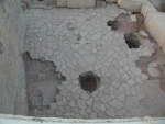
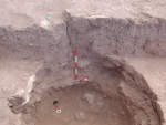
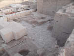
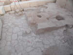
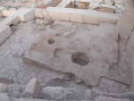
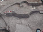
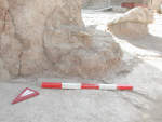
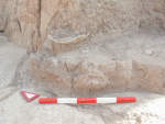
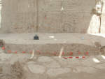
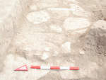
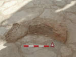
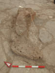
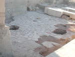
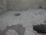
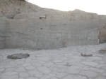
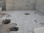
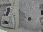
The situation below the tomb f206 is rather unclear. In this area the tomb a16 cut all the way to the stones and placed the bodies i60 i54 on top of the stones. When all of the burial was removed including the bricks of f233 and f234 on the north side it revealed to have stones below them part of a12, but these stones are lower than the rest of the pavement. One stone seen through the burial cut is at the same level of the pavement and appears that the stones either slope down or are part of a stairway/step. Between the high stones and low stones is the packing f344 characterized by its blocky structure and reddish/purple color. This packing covers the eastern area around f206 cut and it is unclear whether the stones continue under the red packing. To the south it appears that the stones are in a line and may form a corner. In k202 the stone pavement comes to a sudden end. It is unclear whether the end was intentional or that the stones were removed at a later time. The end does not form a clear line to suggest any function. [Input: N303LR.j] |
| 2002-09-26 |
fAB |
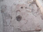
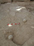
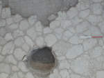
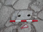
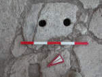
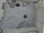
Two small holes were found on the pavement- one stone that resemble post holes. They are f336 and f335 [Input: M926LR.j] |
| 2002-09-29 |
lR |
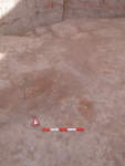
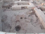
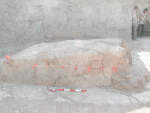
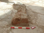
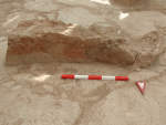
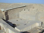
The stone pavement was cut by f189, which removed the stones and exposed a series of baked bricks underneath, a24. These bricks measure 30 x 30 centimeters and alternate from a pale yellow color to an orange color with cracks running through the bricks. These bricks are baked, hard, and arranged in rows. There are 8 rows of bricks visible with some damage in the northern and southern portion. [Input: N303LR.j] |
| 2002-10-05 |
lR |
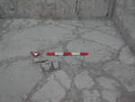
Today I began drawing the stone courtyard starting from the NE corner working towards the west then south. This project required the help of the surveyor bp who set up a grid in lower A16. Three points were surveyed r500 - r503, which are the frame for the grid. From these surveyed nails strings were measured in using a tape measure at two meter intervals. Five strings running North-South and five strings running East to West. The last interval in the south measures less than 2 meters and the last interval in the west measures 152 centimeters. Once the strings of the grid were in place I then placed a 1x1 meter metal grid with 20 centimeter increments inplace between the corners of the strung grid, directly ontop of the stone courtyard allowing a 20cm "boxes" to measures all lines of the stones. This method although tedious (one 2x2 meter square takes between 30min-1hour and total there are 22 squares) proved to be the most accurate for drawing the stones. One simply needs to stand directly overhead the grid and draw. The scale used for this drawing is 1:2 meaning one millimeter on the graph paper measures 2cm in real space. This scale was chosen since the detail of the stones was lost when a smaller scale was used. The use of the 1:2 scale requiered 8 sheets of graph paper taped together and the use of a large clipboard. [Input: MX05SB.j] |
