6. REFERENCE
Analogical Record
| Roster | Date | Author | Record |
|---|---|---|---|
| Photo of context (v view) | |||
| View/drawing of features | 2008-07-30 | lR | f8 (topsoil) f10 (accumulation D) f14 (accumulation C) f16 (layer) f22 (accumulation C) f45 (stone installation) [Input: S811LC.j] |
| View/drawing of item | 2008-07-30 | lR | i13 (sample) [Input: S811LC.j] |
| View/drawing of locus | 2008-07-30 | lR | k2 [Input: S811LC.j] |
| View/drawing orientation | 2008-07-30 | lR | looking north [Input: S811LC.j] |
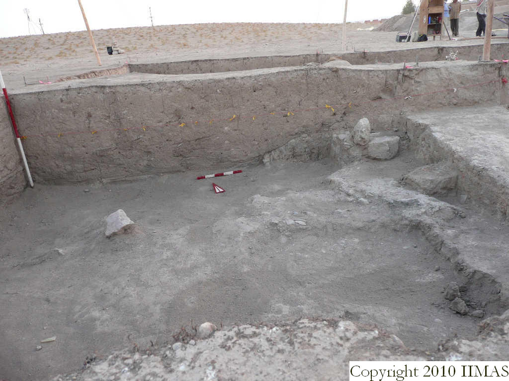
| Text description of view | 2008-07-30 | lR | Shot of the north section of k2 before removing the baulk with the string. This section shows the topsoil f8 that covers the accumulation type b f14 and overlays the accumulation f10, both of which overlay the ancient tell surface (abandonment) f16. The section also shows the relationship between the tick ashy layer f22 sloping down toward south and west, and the ancient tell surface f16. [Input: S811LC.j] |
| Web view | |||
| Photo of view | |||


