6. REFERENCE
Analogical Record
| Roster | Date | Author | Record |
|---|---|---|---|
| Template | |||
| Photo of context (v view) | |||
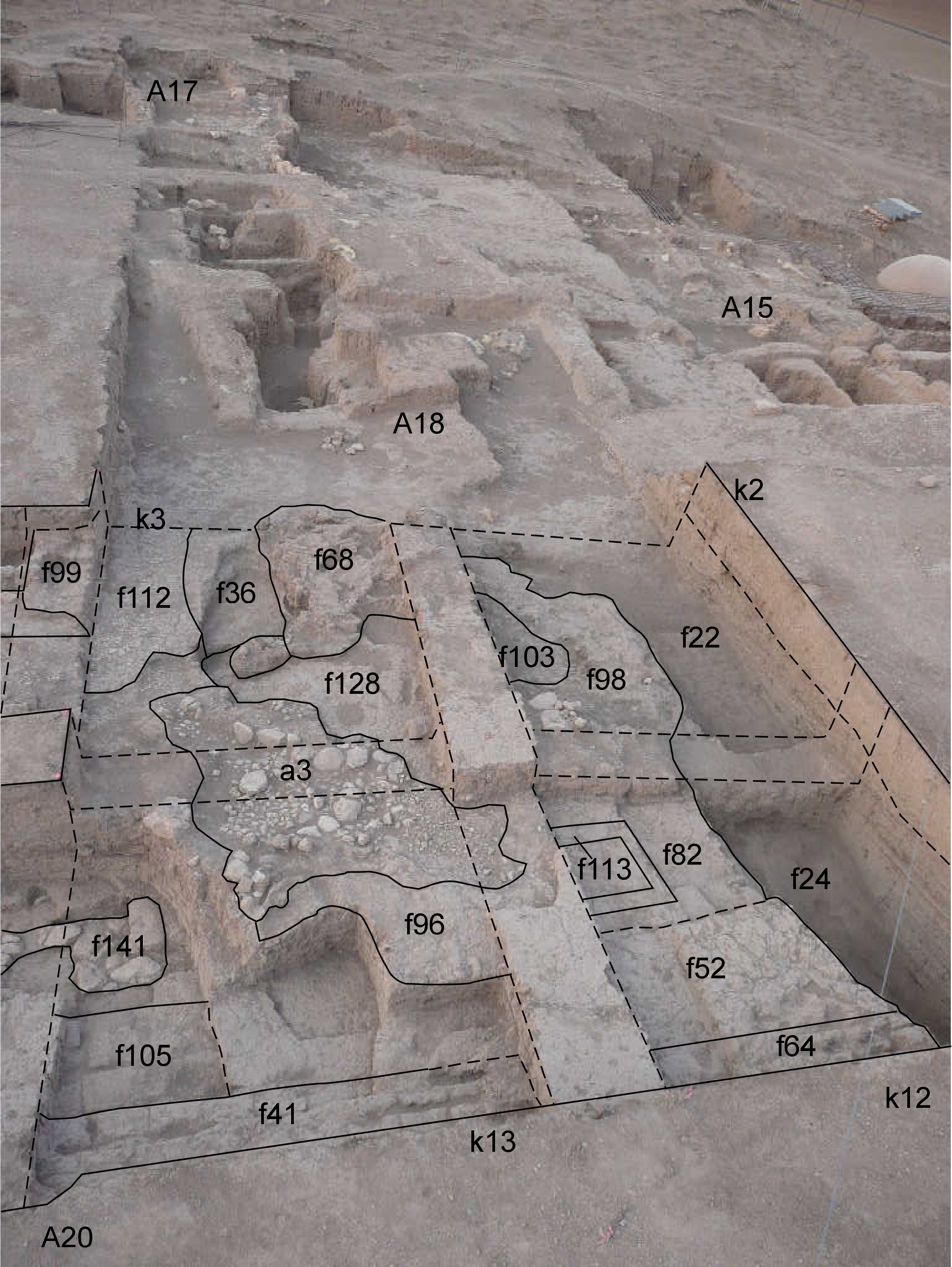
| View/drawing of aggregate | 2008-09-06 | lC | a3 (installation) [Input: S915LC.j] |
| View/drawing of features | 2008-09-06 | lC | f22 (accumulation C) f24 (accumulation C) f36 (accumulation C) f41 (wall) f52 (layer) f64 (wall) f68 (brick pile) f82 (brickfall) f96 (installation) f98 (brickfall) f99 (wall) f103 (layer) f105 (wall) f112 (pavement, type c) f113 (bin) f128 (layer) f141 (stone installation) [Input: S915LC.j] |
| View/drawing of locus | 2008-09-06 | lC | k2 k3 k12 k13 [Input: S915LC.j] |
| View/drawing orientation | 2008-09-06 | lC | looking overhead [Input: S915LC.j] |
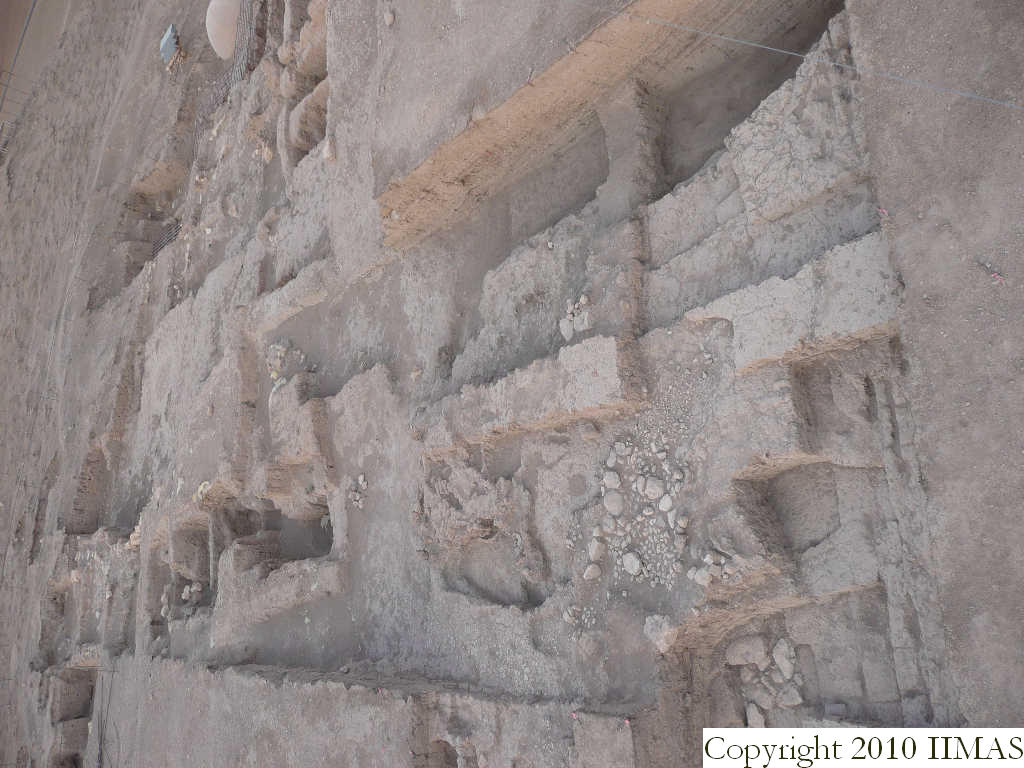
| Text description of view | 2008-09-06 | lC | View taken from the high ladder showing the western half of A20. In the background are visible the structures of A18, A17 and A15, that show a similar level of the structures. The view also shows in A20 the thick ashy layer f22 and f24 abutting the bricky layer f52 and toward south f82 and f98. This big accumulation probably comes from all the activities taken place in this area, possibly interpreted as a wide outdoor area comprehending also the north-western part of A18. These activities are shown by the tannurs f42 and f100, the pavements f112 and the probable floor f112, from a3 constituted of the pebble pavement f80 and the drain system f83. [Input: S915LC.j] |
| Web view | |||
| Photo of view | |||


