6. REFERENCE
Analogical Record
| Roster | Date | Author | Record |
|---|---|---|---|
| Template | |||
| Photo of context (v view) | |||
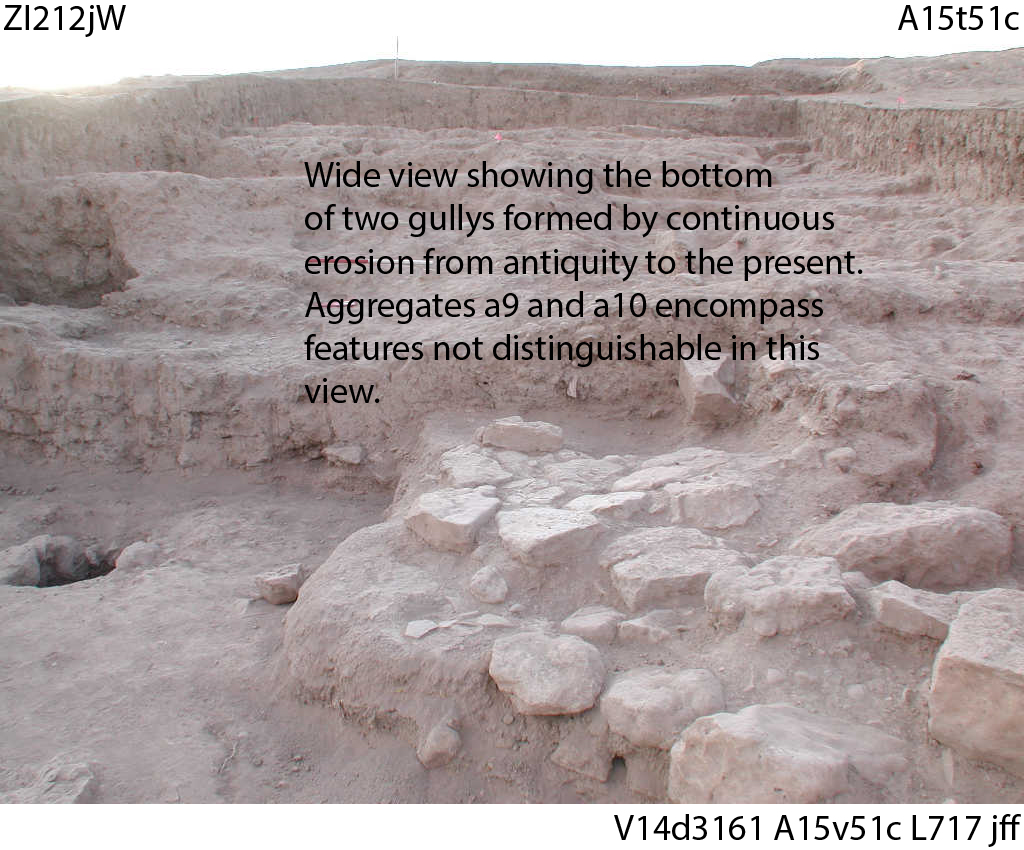
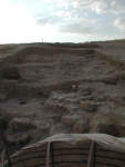
| View/drawing of aggregate | 2024-01-11 | jw | a9 (gully) a10 (gully) [Input: ZI111jW.j] |
| View/drawing of features | 2024-01-11 | jw | f2 (topsoil) f56 (floorsurface in general) f62 (accumulation C) f66 (accumulation C) f79 (accumulation C) f83 (accumulation D) f104 (layer) f138 (accumulation) f231 (accumulation) [Input: ZI111jW.j] |
| View/drawing of locus | 2024-01-11 | jw | k4 k13 k14 k94 [Input: ZI111jW.j] |
| 2024-01-30 | jw | k2 k3 [Input: ZI130jW.j] |
|
| View/drawing range | 2024-01-11 | jw | wide shot [Input: ZI111jW.j] |
| View/drawing orientation | 2024-01-11 | jw | looking east [Input: ZI111jW.j] |
| Text description of view | 2024-01-11 | jw | Two adjacent gullys running downhill from E to W, aggregates a9 to the N and a10 to the S [Input: ZI111jW.j] |
| 2024-01-30 | jw | Documentatio of two extensive ancient gullys that run downhill from east to west, cutting major architectural elements, particularly those of phases four and five. [Input: ZI130jW.j] | |
| Web view | |||
