Back to top: Volumetric data ("topography") for Unit J7 Sections
Overall Strategy
Because J7 bordered the trench in the east, the east sections were generally not preserved for drawing. In the first 135cm of excavation the eastern sections were preserved. The strategy in J7 was only to photograph and template these sections so no drawings were made (see v14 for an example of a section template).
Once the eastern sections had been removed we then switched to photographing and templating the western sections (see v36 for west section example). As the squares were relatively narrow (less than 2 meters wide in some places) it is still possible to match the sections.
North sections were not drawn but were photographed and templated during the excavations. Overall shots were taken looking south to better see the comparison across the trench, k200, from J6 to J7.
Back to top: Volumetric data ("topography") for Unit J7 Sections
Western Sections
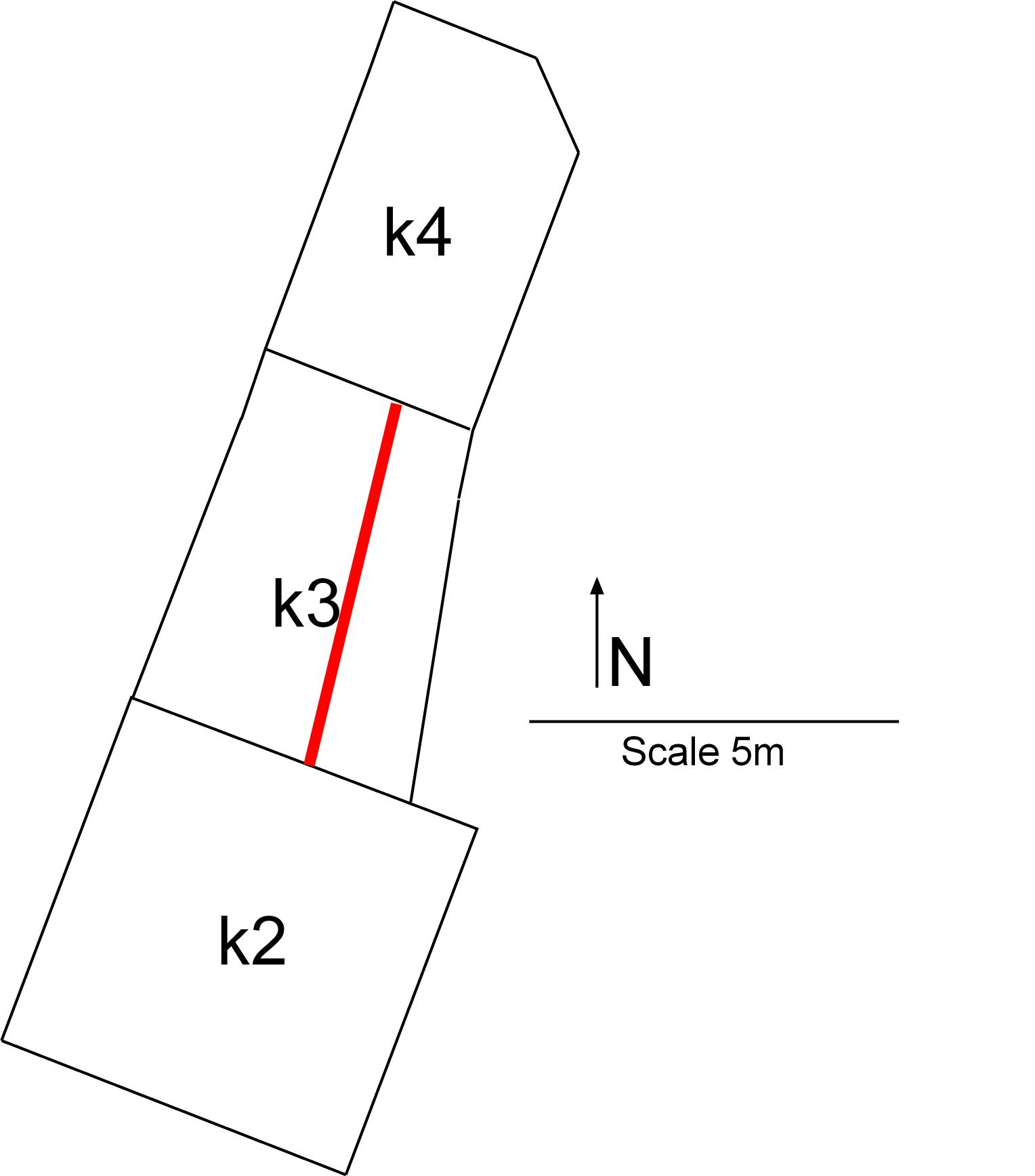
The western sections are most informative as they show the sequence of build-up. In the southern-most section, k3, the complete sequence of ash, brickfall and then eventually natural accumulations and topsoil is visible.
J7 k3-West
v29
|
|
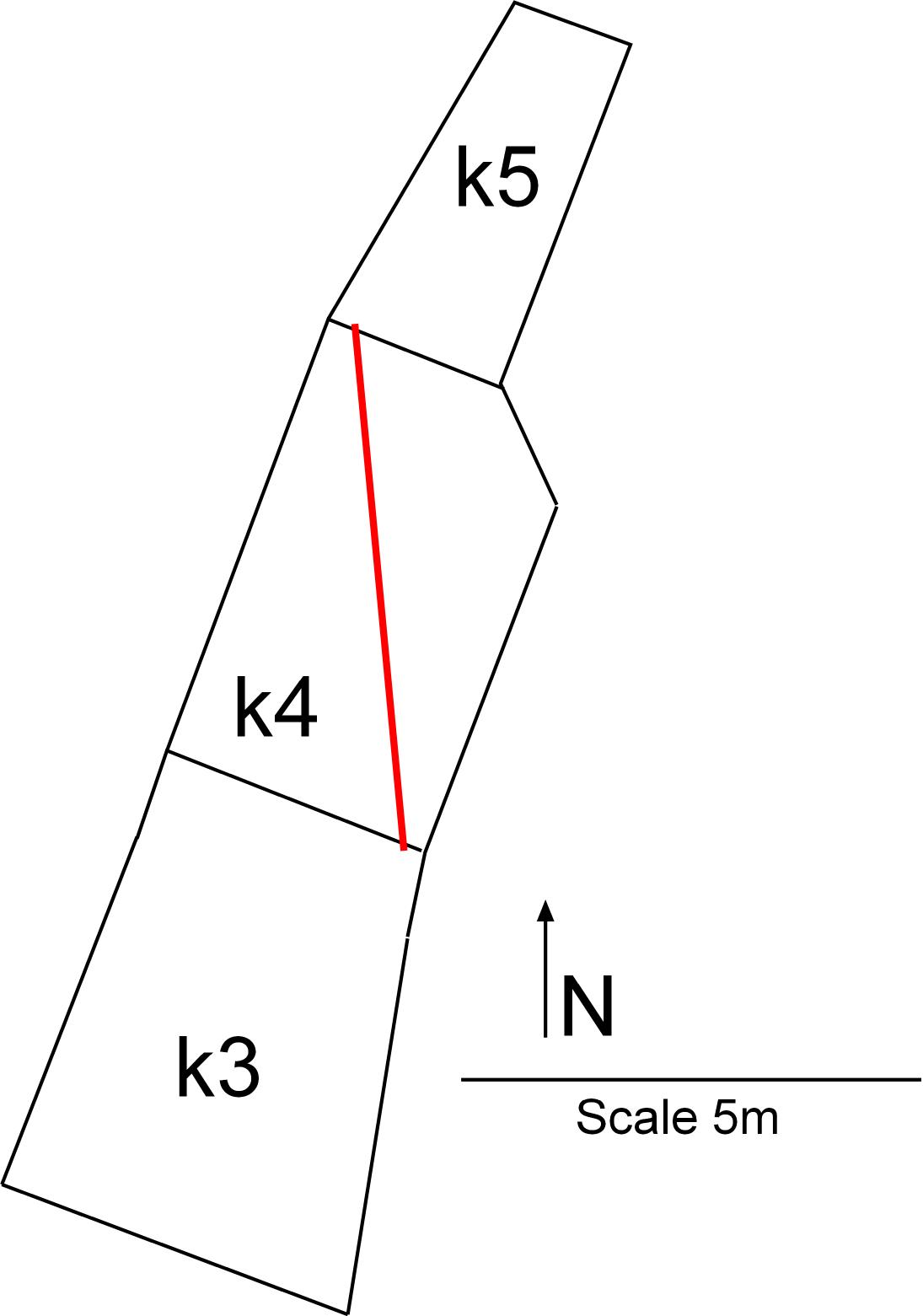
The k4 western section shows that the ash has tapered off toward the north and is no longer visible. In this section only solid brickfall can be seen. The bricks are very clear in section.
J7k4-West
v30
|
|
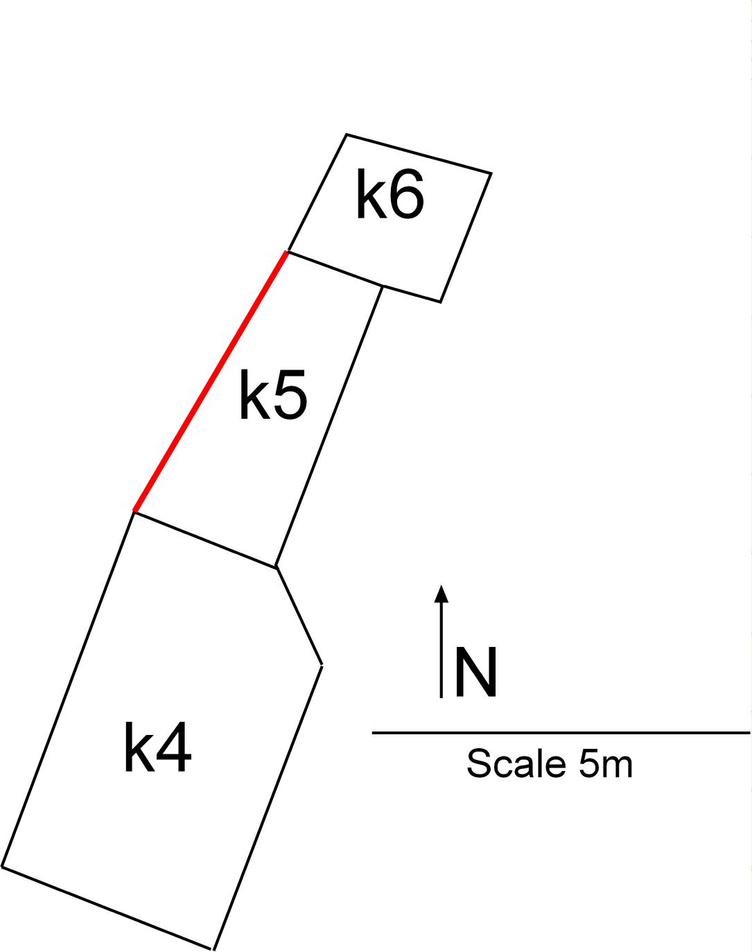
The k5 western section shows the continuation of the extensive brickfall. The long process of degradation of the brickfall is clearly evident with more articulated bricks at the bottom and more degraded bricks at the top, indicating the topmost portions were subject to weathering.
J7k5-West
v36
|
|
Back to top: Volumetric data ("topography") for Unit J7 Sections
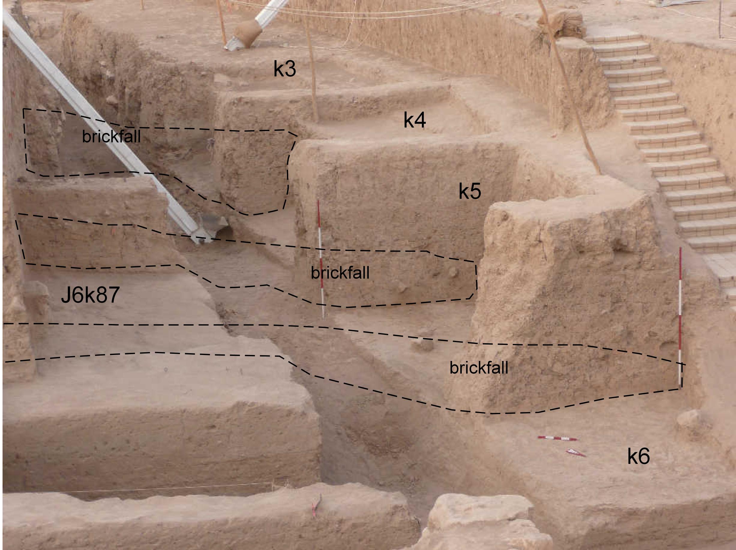
Cross Unit Sections (J7 and J6)
Cross-unit section showing the extent of the brickfall. The brickfall can be seen in the J6 sections as well as the J7 sections. The approximate slope of the brickfall has been reconstructed.
J7 k6,k5,k4-South sections
v35
|
|
Back to top: Volumetric data ("topography") for Unit J7 Sections