|
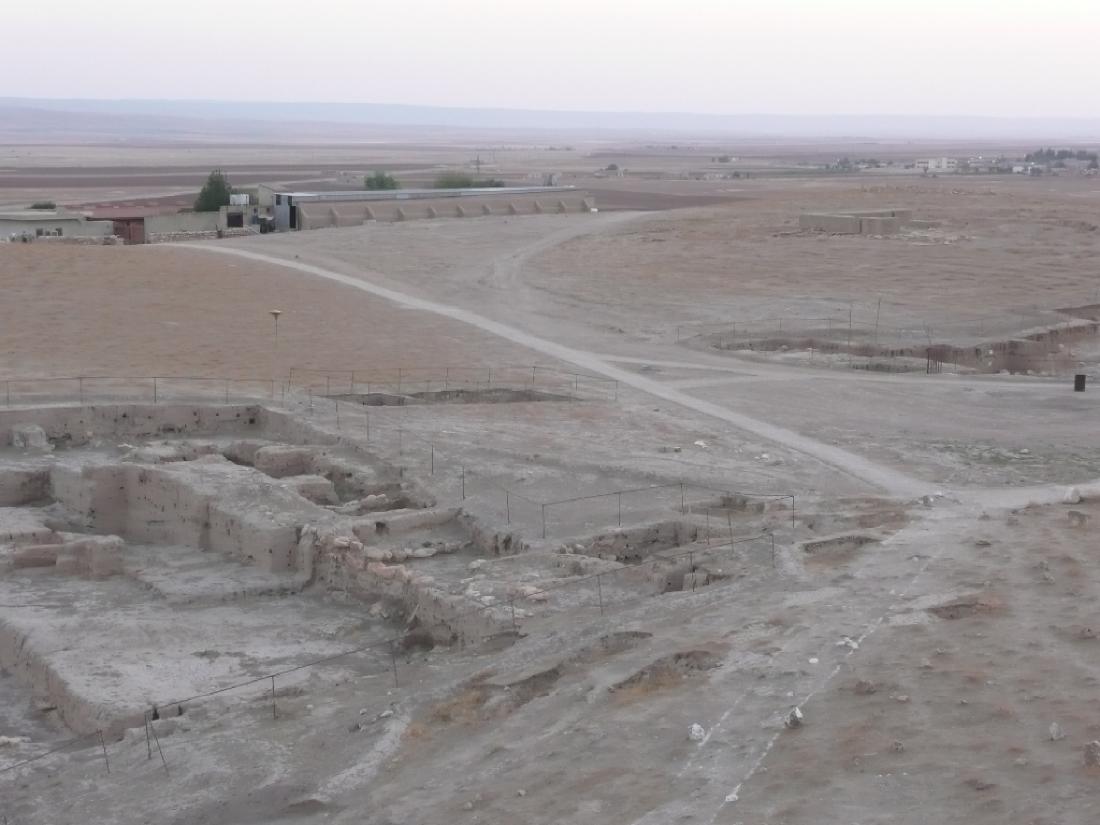
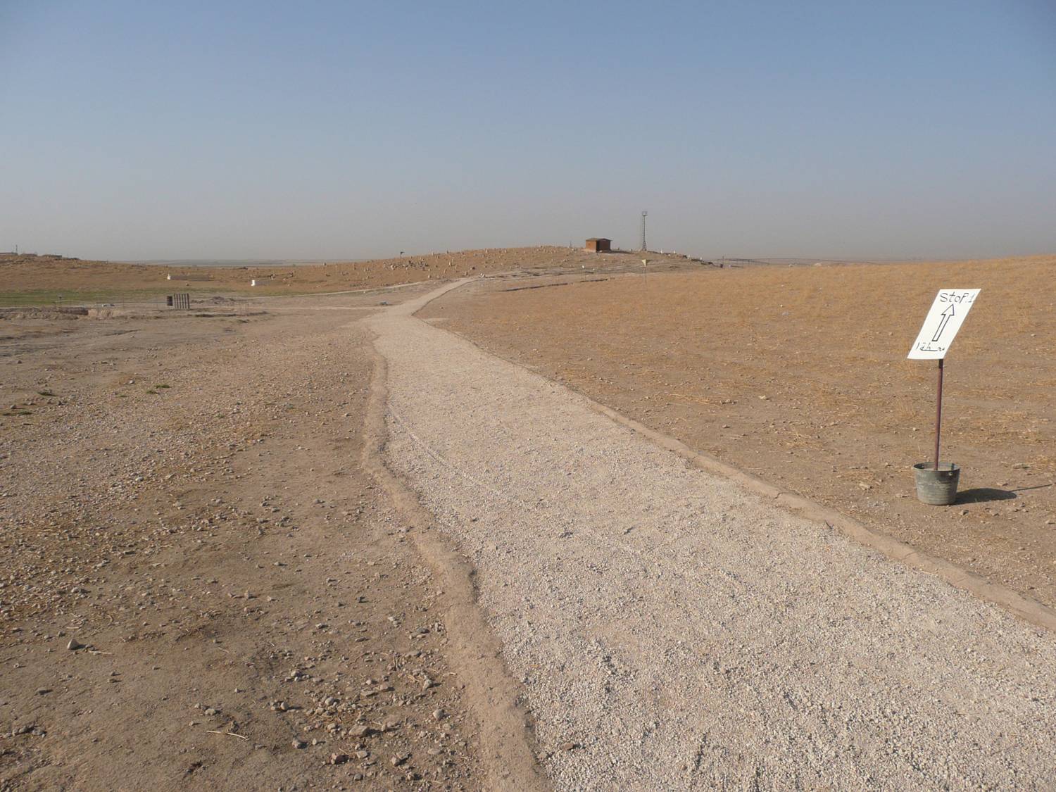
The obvious first step in providing a manageable site presentation is the proposal of an intinerary that leads the visitor to specific targets. The simple gravel paths serve this purpose, and they are coordinated with the printed Guide, which leads to a number of marked stops or stations. Two additions are planned for the future. First, directions will include reference to excavation areas that are not highlighted in the Guide. Even without formal paths, and even where excavations may not have been preserved or are backfilled, it may be of interest especially for scholars to view in person a spot known to them from the published record. This is in line with the conceptual goal of providing a true "Global Record" of the excavations. The second addition will be the expansion of the project to include not only the Outer City, but also the greater environment within the confines of the planned Archaeological Park (cf. also the other dedicated website): here circulation will be linked to vehicular traffic over a radius of several kilometers. |
  |